
Become an International Mobile Mapping Partner
Reap the benefits of an all-in-one mobile mapping solution.
Challenges you currently face
- Data Management: Managing and storing vast amounts of data generated by mobile mapping systems can be overwhelming and expensive.
- Data Accuracy: There are significant concerns regarding the accuracy of data collected through mobile mapping.
- Pre/Post-Processing Needs: Too much time is lost on manual work, whether it's stitching, refinement, integration, enrichment or QA/QC of vast amounts of captured data.
- High Initial Investment: The initial investment required for buying mapping systems raises concerns about return on investment (ROI).
- Lack of AI and automation: Scaling the business requires less dependence on people/third parties and more automation (which means less human error, faster turnaround times, and more profitability).
How AI-InfraSolutions Can Help
This is how we can solve your challenges
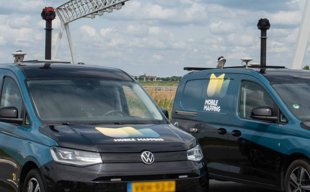
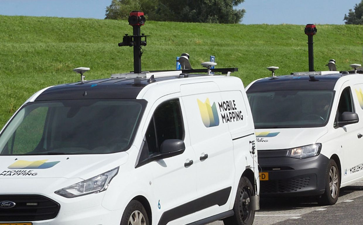
Spatiall Data
Our Spatiall Data solution is a combination of hardware and software, resulting in consistently high quality data making you AI-ready.
Spatiall Data encompasses the following modules
- Captured with Ladybug 6
- Applanix POS LV 410/420
- 2x PandarXT 32
- DMI
- Coming soon: mobile mountable car unit
Spatiall Ops
Spatiall Ops is an all-in-one platform built to streamline mobile mapping and data transfers, helping you conserve both time and resources. Setting up and executing mapping tasks can involve many complex components, but Spatiall Ops simplifies the process, enhancing overall efficiency.
This all-in-one platform integrates a variety of essential tools, including:
- Fleet management
- In-car driver controls
- Data tracking
- Local storage
- Automated pipelines for continuous mapping
Spatiall Studio
Our Spatiall Studio is an interactive web-based platform for all AI-InfraSolutions data, enrichments, services and interaction. Giving you a one-stop-solution and saving you a lot of time in the process. This web-based platform includes the following:
- Viewer (panoramic, point cloud, orthophoto)
- Smart playlist for efficient workflows
- Annotation
- Connect and export
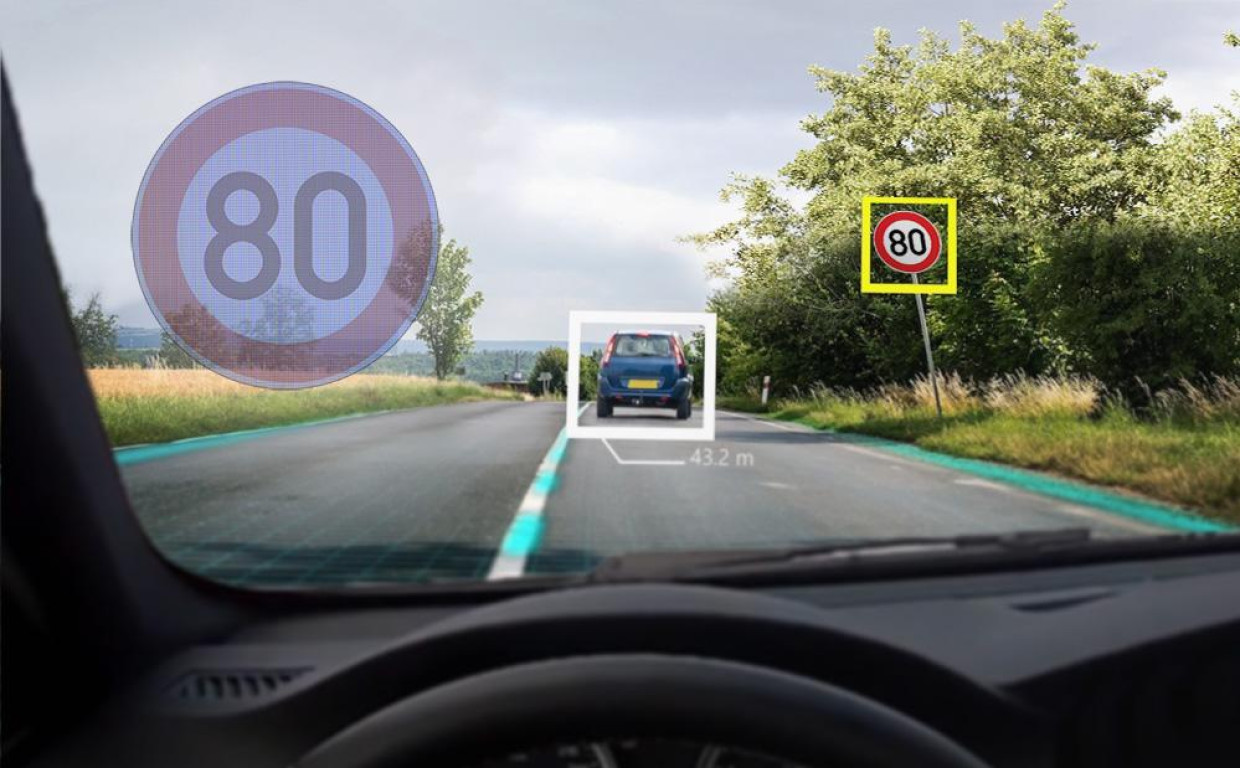
Spatiall AI Lenses
Current enrichment processes are often all manual, expensive, and inconsistent because of human errors. Starting to make use of AI technologies requires a lot of different expertise and fast amounts of data. Our Spatiall AI Lenses solve these problems, we have models trained to detect and classify:
- Traffic signs
- Light poles
- Terrain
- Road markings
- Utility poles
- Trees
Speak with our team to find out more
Join AI-InfraSolutions as a trusted mobile mapping partner and reap the benefits of an all-in-one mobile mapping solution.
Apply today
Other areas we can help you with
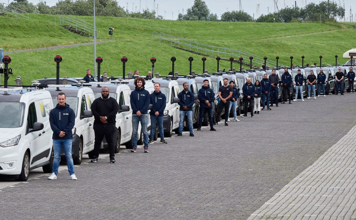
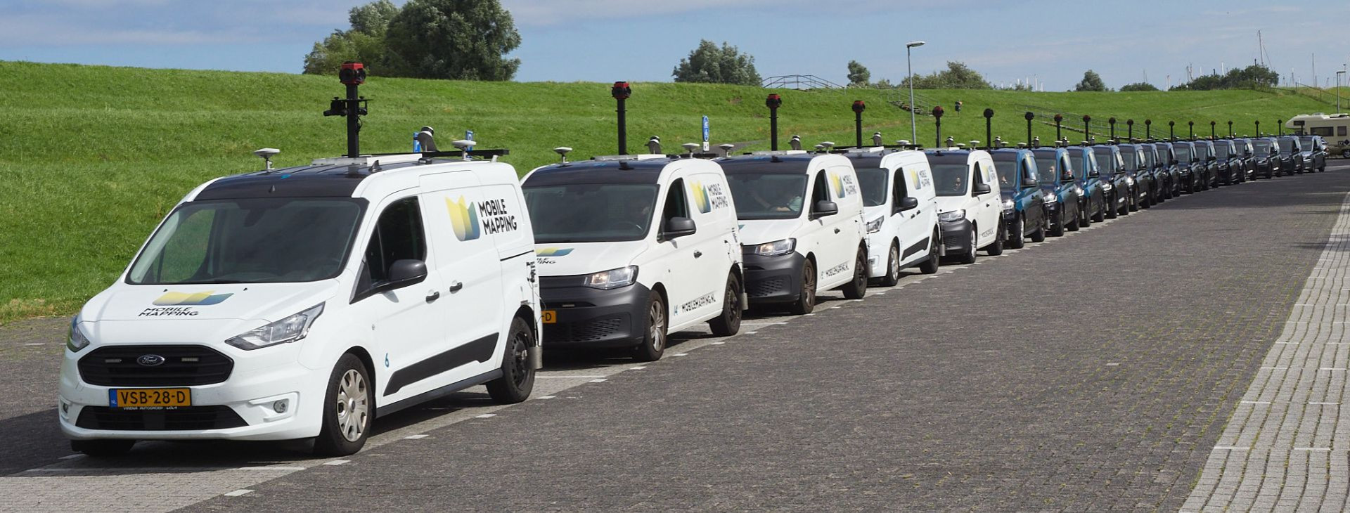
Nationwide Expertise
We are the only company with nationwide expertise in large-scale mobile mapping, ensuring you receive mentorship and peace of mind every step of the way.
Comprehensive Fleet Management
We are the only business globally with a comprehensive fleet management system capable of handling multiple vehicles, automation processes, and large-scale data management.
Cost-Effective Solutions
We offer leasing options to eliminate the need for significant upfront capital expenditure.
By automating and digitalizing manual processes, our solutions significantly reduce manpower costs, allowing you to achieve a higher return on investment (ROI) for your projects while streamlining operations.
Data Management and Security
Store the data collected locally and access it securely via our Spatiall Studio, effectively addressing concerns related to data sovereignty regulations.
Our solutions facilitate hassle-free integration with third-party systems and datasets, such as serial data, giving your customers a unified and cohesive view of all relevant information, and enhancing decision-making and operational efficiency.
Collaboration and Customisation
Our platform supports real-time data updates and collaboration among team members, improving communication and ensuring that all stakeholders have access to the latest information.
Dedicated Support
Our dedicated support team is available to assist with any technical issues or inquiries, ensuring you have the resources needed to maximize the effectiveness of our solutions.
Why Become a Mobile Mapping Partner?
- Scale Your Business: Leverage our innovative solutions to undertake large-scale mobile mapping projects and generate high-quality data quickly.
- Nationwide Mapping: Access specialized vehicle setups equipped with high-resolution cameras and LiDAR scanners for accurate data collection.
- Enriched Data for Greater ROI: Deliver valuable geospatial insights and infrastructure asset information to expedite decision-making for clients.
- Automatic GDPR Compliance: Ensure data privacy and compliance with GDPR standards effortlessly.

Benefits of Becoming a Mobile Mapping Partner
- Accelerate Time-to-Revenue: Utilise our advanced technology to create enriched geospatial data that caters to diverse use cases across multiple customer segments.
- Rapid Data Capture: Achieve high-volume data capture with local refinement in just 24 hours, enhancing operational efficiency.
- Cost Reduction: Decrease reliance on manual labour, leading to significant cost savings.
- Access to High-Quality Equipment: Benefit from state-of-the-art hardware and sensors tailored for large-scale mobile mapping projects.
- Data Privacy Assurance: Automatically comply with data privacy laws and data sovereignty regulations, ensuring peace of mind.
- Comprehensive Support: Receive extensive assistance from our team, from initial setup to training. Our expertise encompasses the entire lifecycle of mobile mapping, having conducted our own nationwide capturing.
- Leverage Proven AI Models: Utilise advanced AI models to apply the necessary analytical lenses to your data, meeting the specific demands of your customers effectively.
How does the partner process work?
If you are interested in becoming an AI-InfraSolutions mobile mapping partner, fill out our enquiry form and a team member will get back to you with further details.
- Initial Contact: Fill out the enquiry form and we will ensure you meet the requirements to become a partner.
- Training: If we proceed, our specialists will provide training to ensure you and your team are fully versed in our bespoke mobile mapping solution and how to extract the most value from your setup.
- Equipment Delivery: The equipment will be shipped to your address to be retrofitted to your mapping vehicle. A dedicated team member will be your point of contact going forward.
- Client Referrals: Receive ongoing support to sell and deliver mapping services to your client base.
Apply now
If you would like to know more about becoming one of our mobile mapping partners or to apply, please contact us via the link below. Upon submission, a member of the team will contact you.
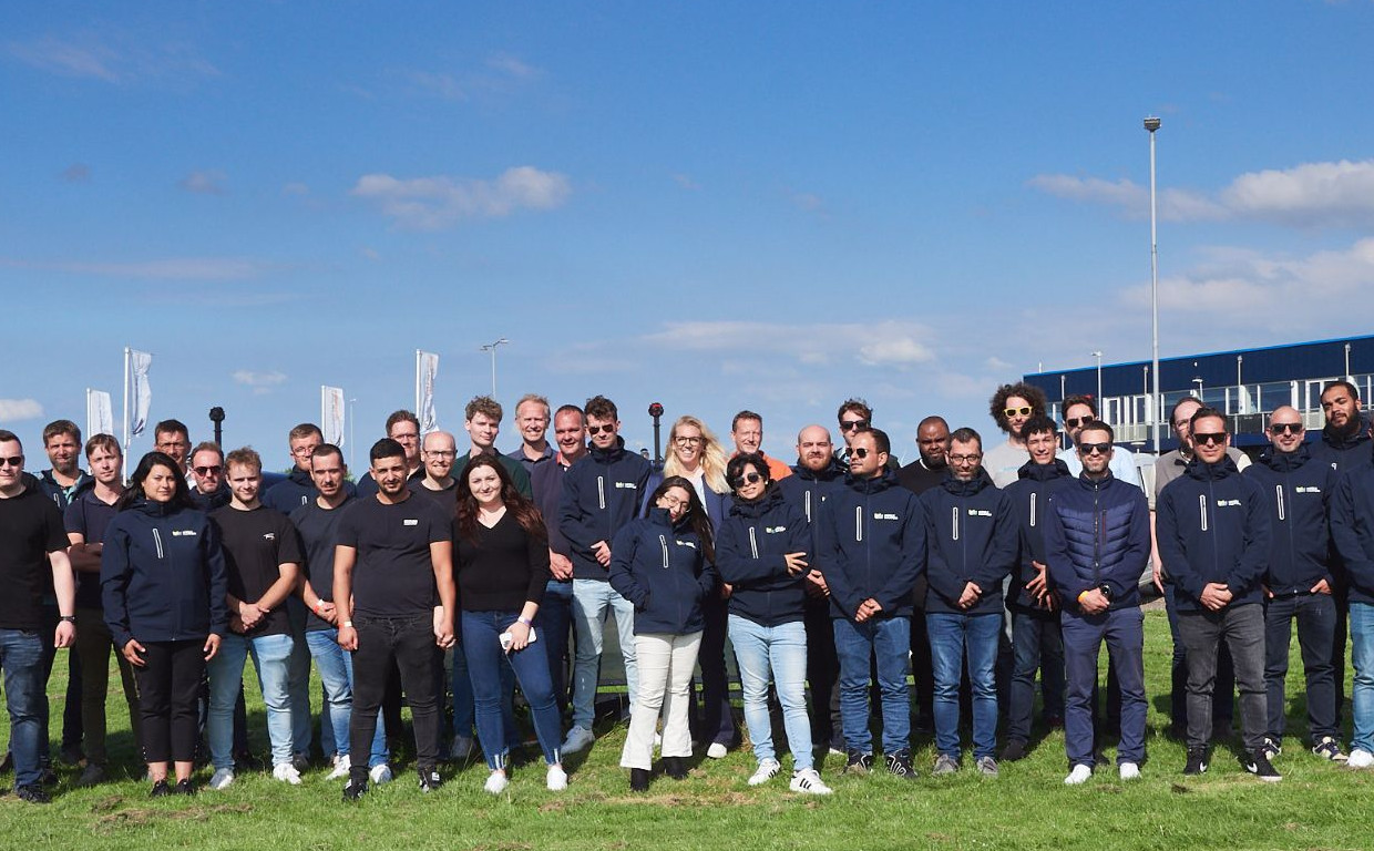
About us
AI-InfraSolutions has been pioneering in end-to-end infrastructure asset management since 2018. We carry out national data capture in the Netherlands on an annual basis and are experts in nationwide and large-scale mobile mapping.
After the success of our mobile mapping concept in the Netherlands, we're leveraging our experience to build an end-to-end solution for partners, as we know and understand your challenges.