2D data & 3D Geoviewer
3D Geoviewer, visual and transparent data
More about the 3D Geoviewer Point cloud and Ortho street photographs
2D data available for existing management environments
AI-InfraSolutions links into existing Asset Management packages. Our data and information are available as a data layer in an existing management environment (Orbit/Bentley/IPSM/Hexagon/ArcGIS). We also supply the data as a .shp file. These files are easy to use in GEO and GIS applications. A data set around an asset is also available as a database.

3D Geoviewer
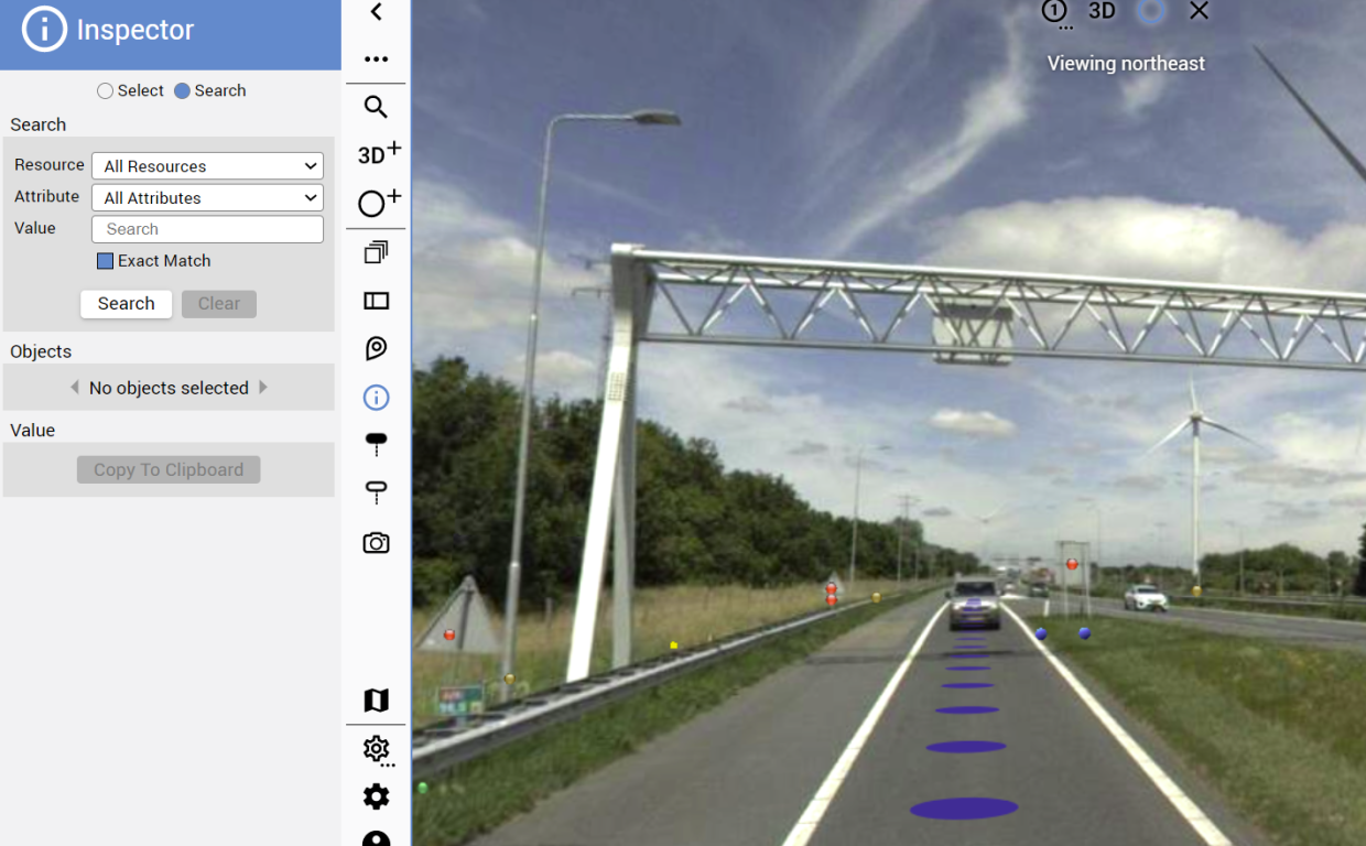
AI-InfraSolutions combines 360 degree panoramic photographs and point clouds in a 3D Geoviewer. We virtually integrate the different datasets in this viewer. The 3D Geoviewer offers plenty of possibilities for consulting, visualising and projecting data. It allows access to the acquired Mobile Mapping data. You can easily determine the measurement of an x,y,z position with one click on the photograph. The user-friendly interface ensures you can easily and accurately determine a point, line, area or volume. This 3D mapping is a powerful way to capture and understand public space in a three-dimensional context. The 3D Geoviewer has resulted in it no longer being necessary to send hard disks or carry out installations.
AI optimised data
-
Pointcloud
The point cloud allows for rapid data sets’ visualisation and analyses. This is of huge value when making decisions in a dynamic environment. AI-InfraSolutions provides point cloud data in LAS, RCP and OPC format. -
Ortho street photographs
Objects in the images can be accurately measured and analysed using orthographic projection (2D GEO).
