
Expert in acquiring, detecting and classifying surfaces
Terrain classification provides valuable information for various different applications, including urban planning, infrastructure development, landscape architecture, environmental analysis and public space management. It enables professionals to understand, plan and manage the site more effectively, ultimately allowing for optimal functionality and safety.
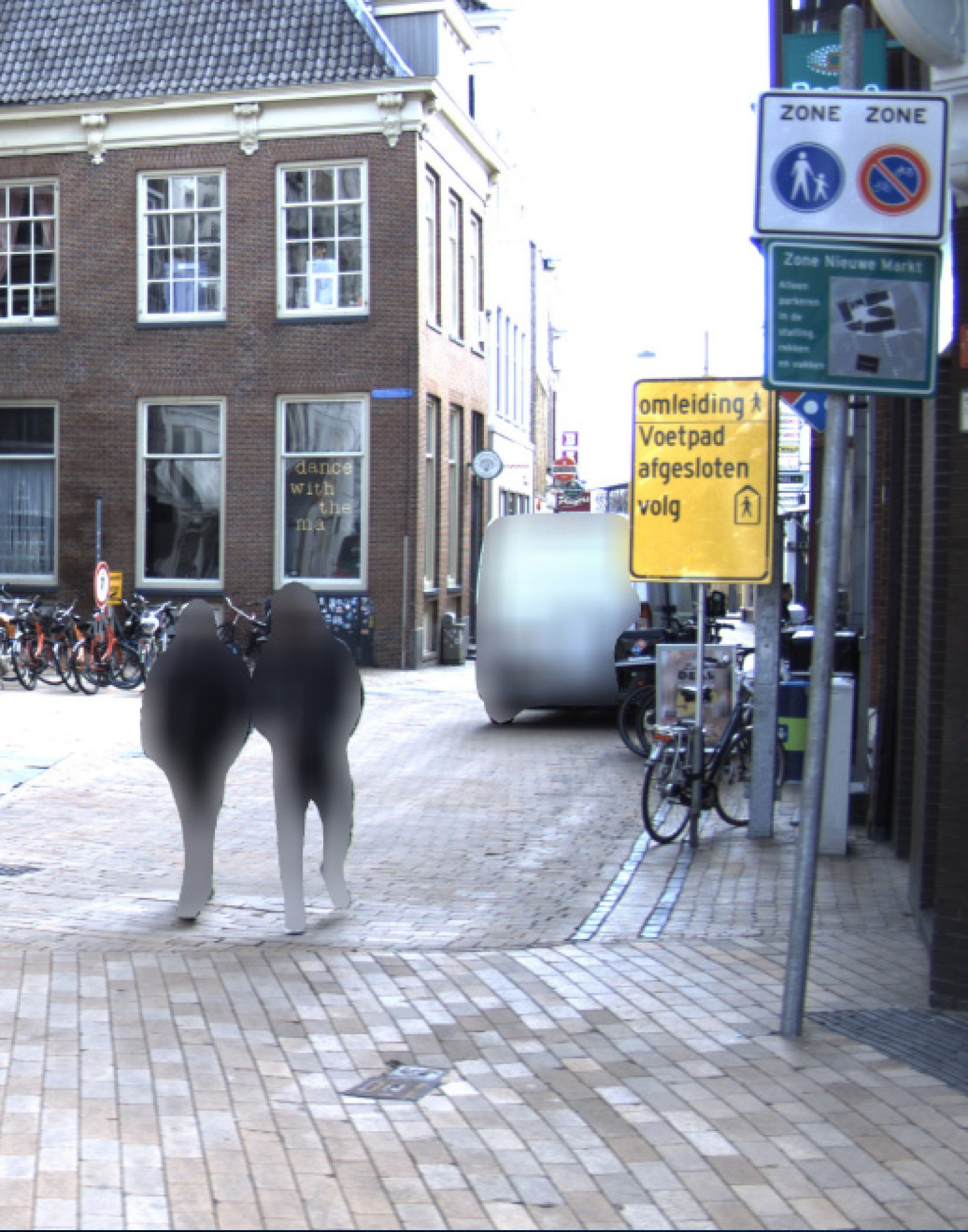
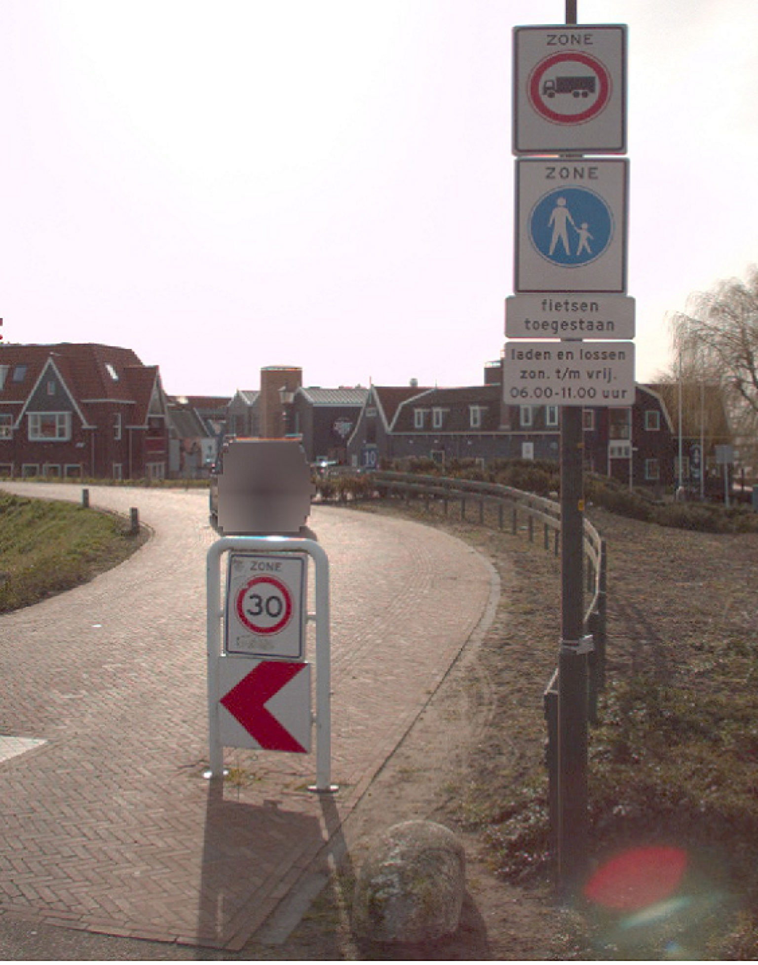
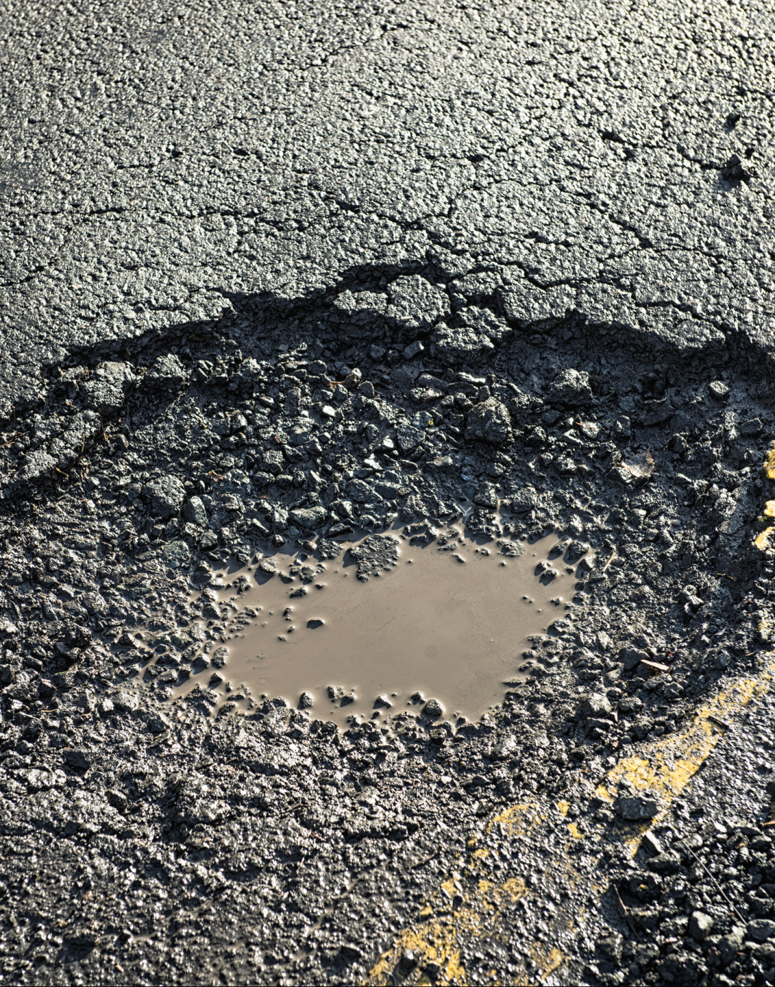
The automatic classification of soil layers of the type of site, classified in accordance with its external appearance, is important. This inventory will provide an insight into the type of site and pavements. The type of pavement will determine the amount of work which needs to be done when laying cables and pipelines. Innovative techniques can be efficiently used, resulting in less nuisance and damage to roads and sites, by knowing the locations of the different pavements. This will speed up construction and will significantly reduce construction costs.

Digital classification of surfaces
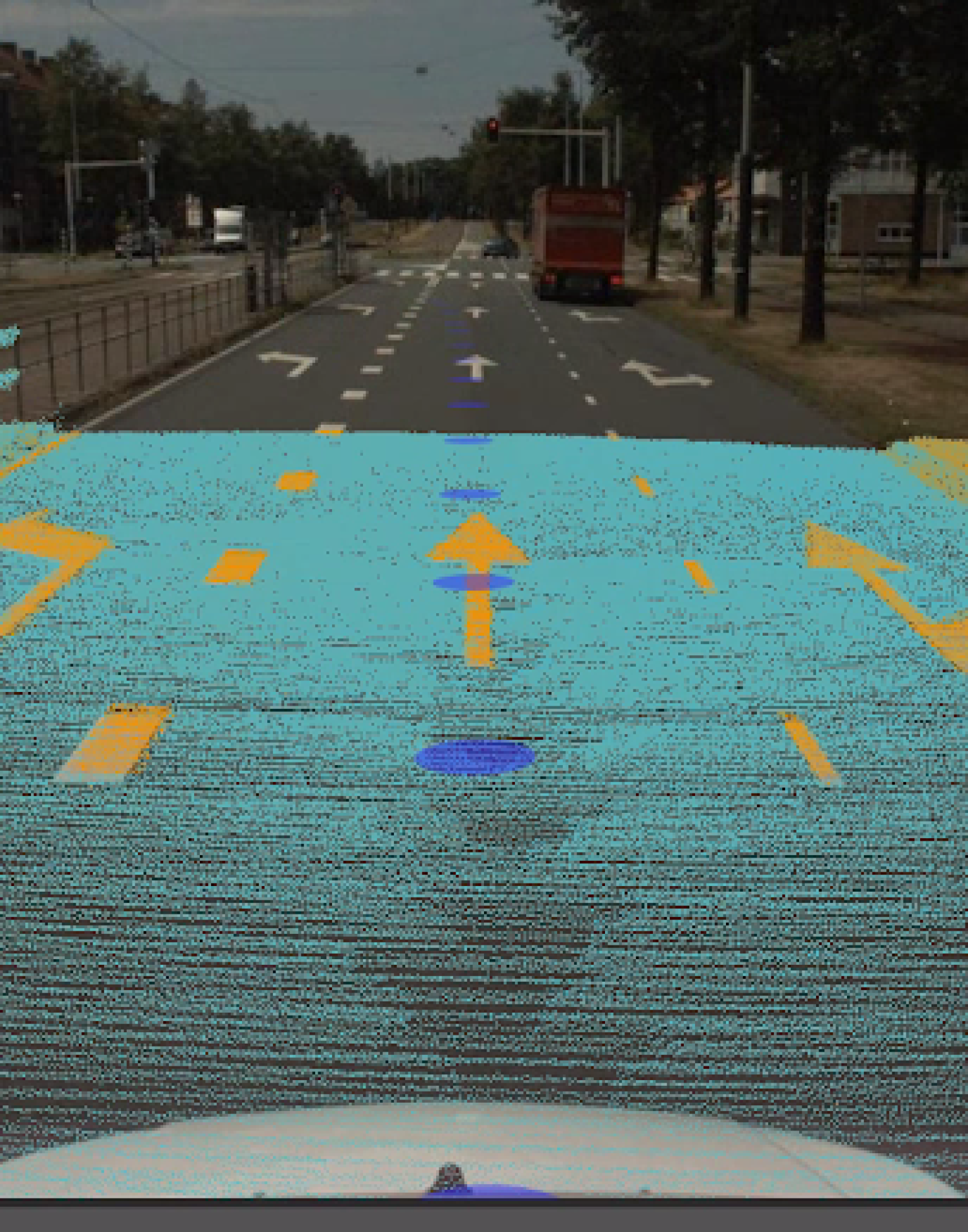
AI-InfraSolutions’ strength and expertise lies in both the acquisition of geodata and the automatic detection and classification of surface layers. The AI models work on the basis of the acquired 360 panoramic image and LiDAR data. We manually supplement anything the sensors or our algorithms have missed. AI-InfraSolutions can therefore offer a solution which supports and accelerates the work process.
All of this subsequently contributes to efficient project planning and implementation, as well as to cost calculations, planimetric mapping, Smart City initiatives and impenetrable surface analyses in different markets like Fibre-to-the-home (FTTH).
Our range:
Terrain classification offers valuable information for various different applications. The highlighted aspects include: the site and object analysis, an overview of open and closed pavements and the various different soil layers. It’s also possible to provide an insight into cables, trees, electricity poles and facades.
We will supply the results of the detection and classification in 2D (.shp) via the 3D Geo-viewer, but also as a data layer for your own GEO/GIS or management environment.
| KENMERKEN | SPECIFICATIES |
|---|---|
Questions about the characteristics and specifications?
Get in touch with one of our experts
Related Solutions:


-


Automated terrain classification and site analysis
-


Impenetrable soil layers analysis for Fibre-To-The-Home
-


Reduction of installation costs as a result of acquiring an insight into soil layers
Curious about the automated detection of surfaces?
Get in touch and discover what we could do for you!
