Traffic Signs
Classification in accordance with the Road Traffic Regulations
Detection and classification of traffic signs for sustainable management
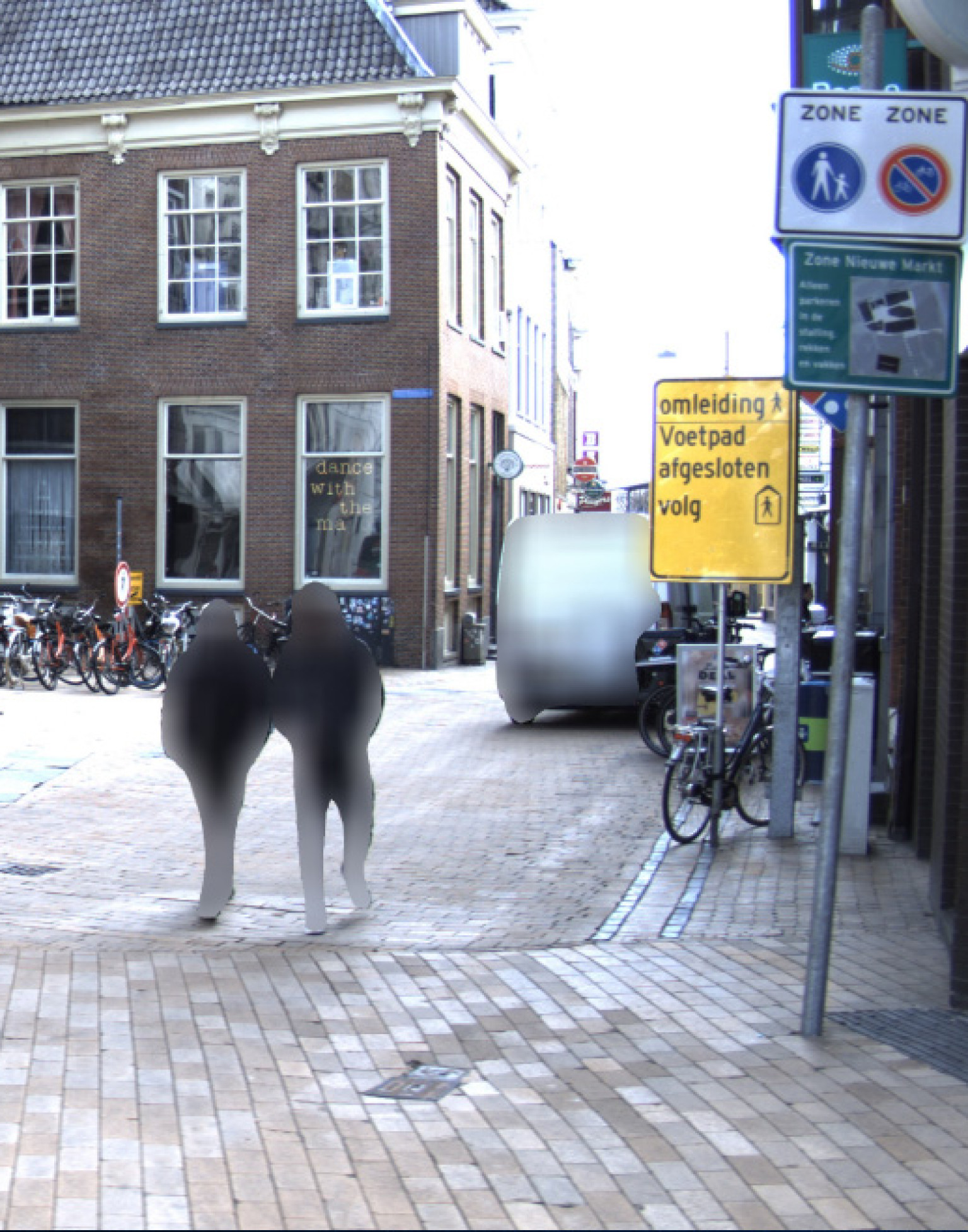
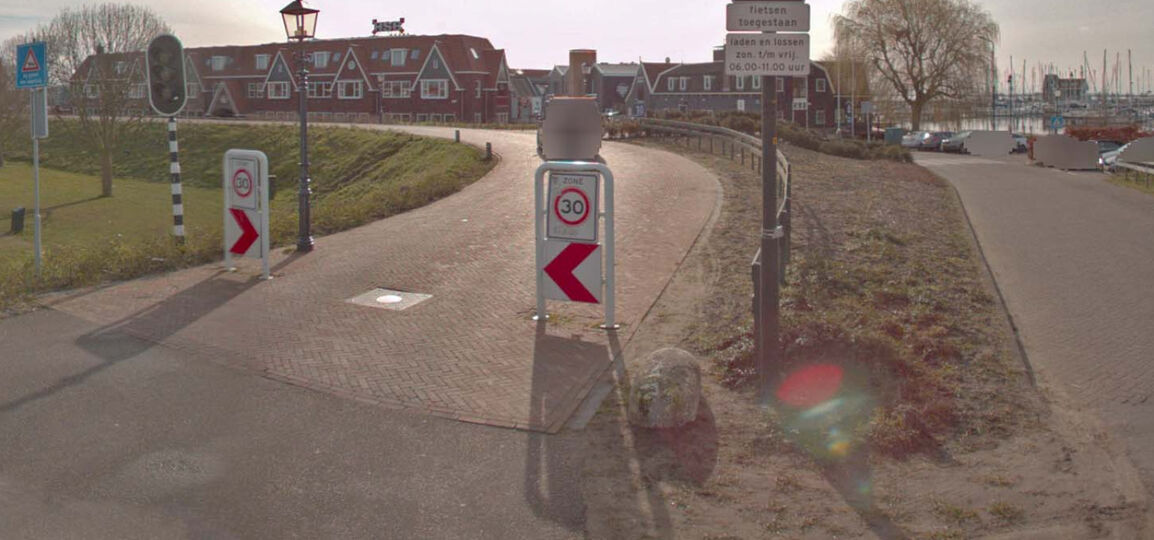
Traffic signs are of huge importance for safety and traffic regulations. The arrival of (semi-)autonomously driving cars, which register the environment, means it’s very important for the condition and location of traffic signs to be known. It’s essential to regularly map out the traffic situation in order to realise sustainable management. AI-InfraSolutions offers automatic detection and classification of traffic signs.
We record detailed information for each sign, like the location of the carrier, the viewing angles, dimensions and type. But we also map out the quality of the traffic signs. This could include, for example, contamination, damage and aging.
AI-ready, traffic sign detection and classification
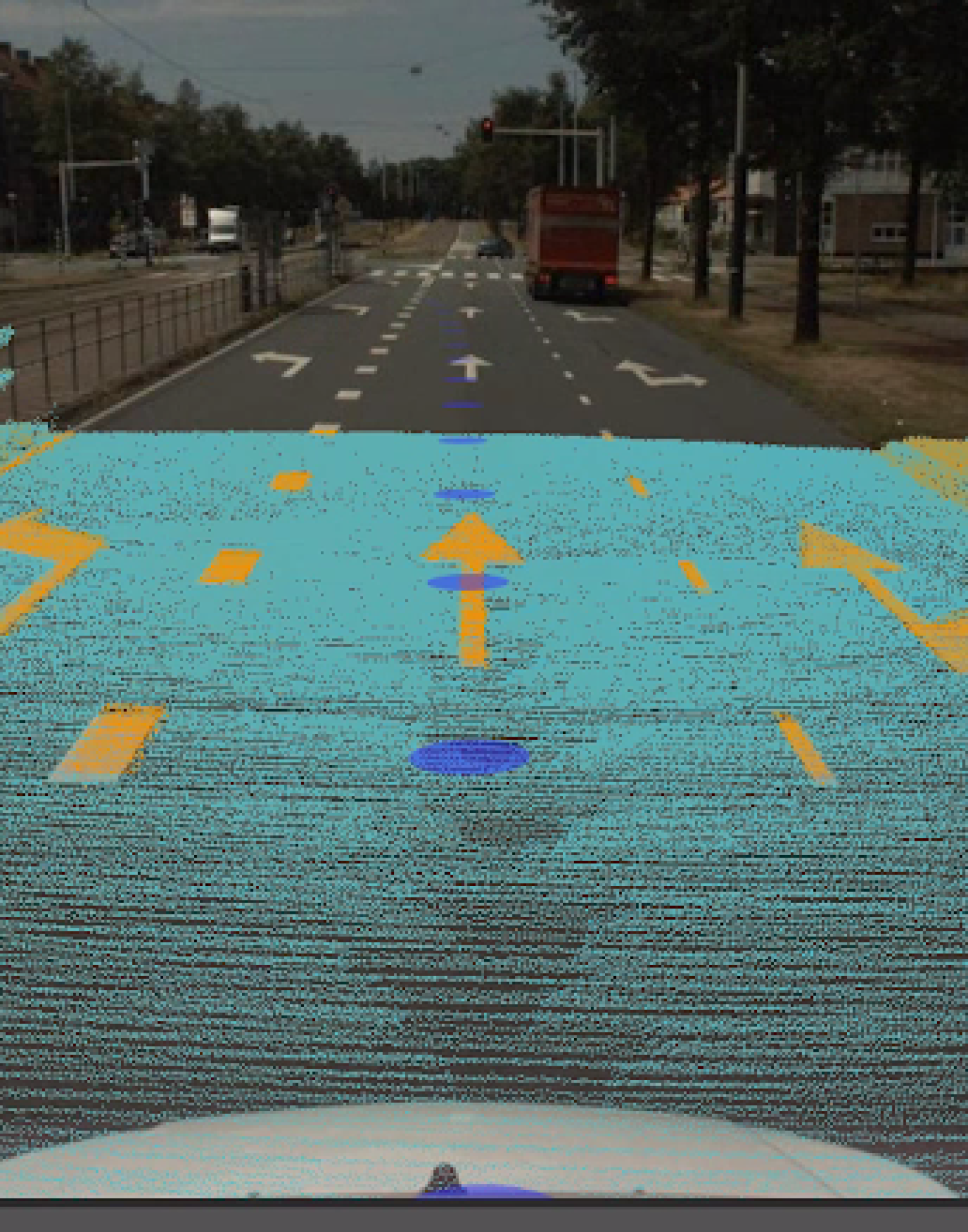
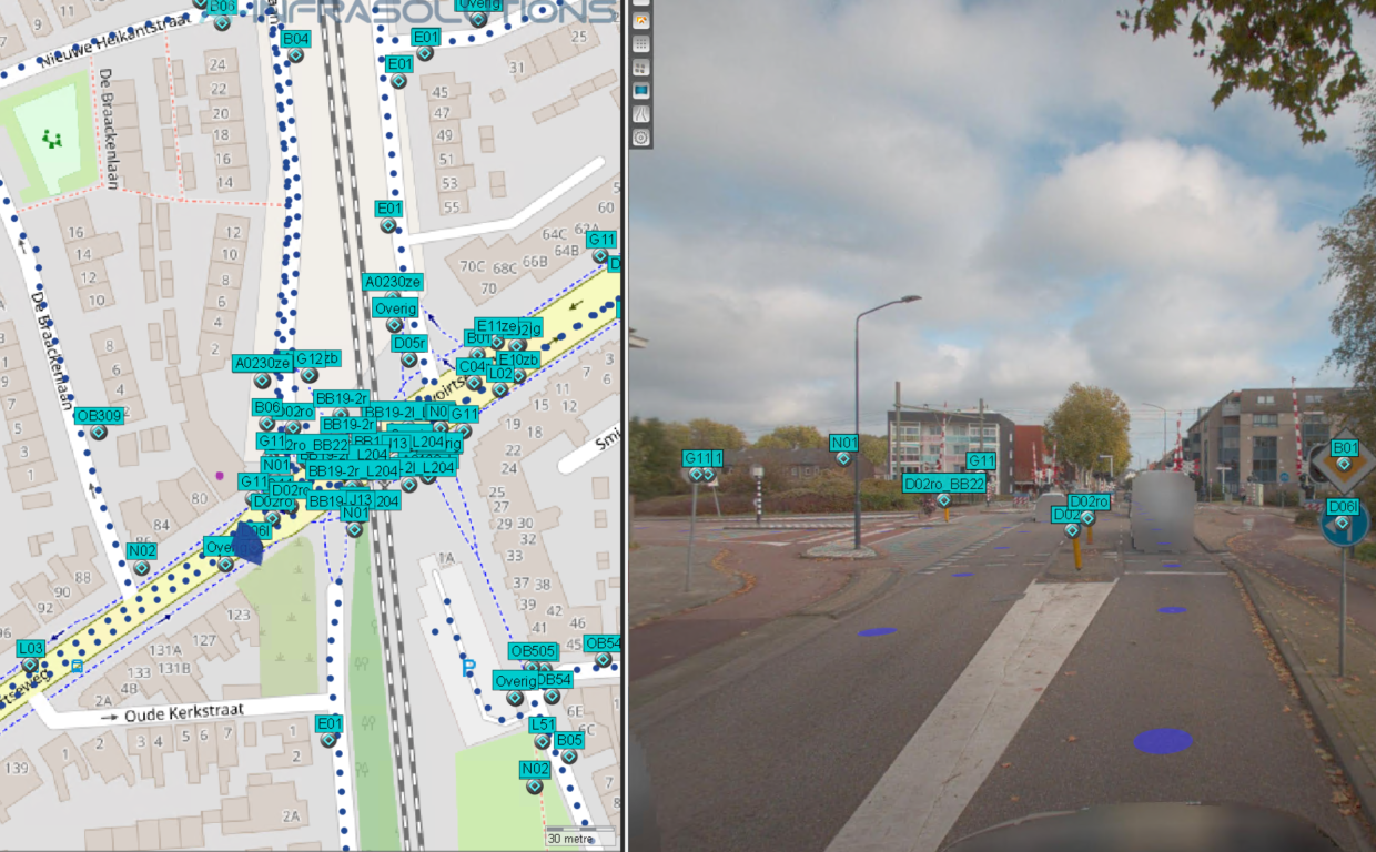
AI-InfraSolutions has its own Mobile Mapping vehicles and sensors for large-scale data acquisition at its disposal. Our AI Solution automatically extracts data from the images which allows us to determine the traffic signs’ location, type, but also their condition and context.
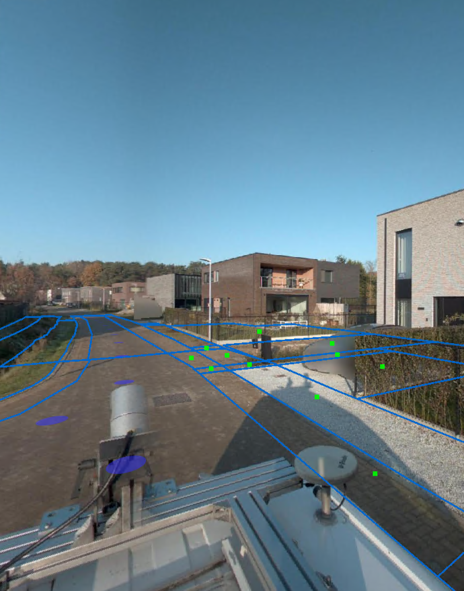
We use our own 3D Geoviewer to complete the inventory and assessment, within which images and point cloud data come together. This doesn’t just create a 3D Digital Twin of the environment, but also allows us to offer the available information per object.
Our Range
Traffic signs are automatically extracted from the combined images and point cloud by the AI, after which a Digital Twin is made of it. We provide basic information about road signs, like the location of the sign, the type of sign, the type of carrier, the viewing and pointing direction, the shape and function (in line with the RTTSR standard), first and last recording and a context photograph of the sign. We can provide additional information about the condition, like any possible misalignment and damage, for example, by prior consultation.
We will supply the results of the detection and classification in 2D (.shp) via the 3D Geoviewer, but also as a data layer for your own GEO/GIS or management environment.
| CHARACTERISTICS | SPECIFICATIONS |
|---|---|
Questions about the characteristics and specifications of traffic signs?
Get in touch with one of our experts

