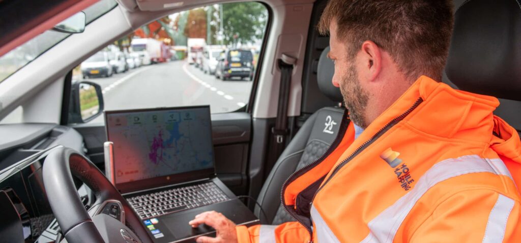
We’re looking to expand our team of drivers with responsible colleagues who enjoy driving cars. But not just any cars – ours are packed with measuring equipment. Think of a 360° panorama camera, lidar sensors (which are like lasers), and GPS measuring devices.
On a typical workday, you’ll pick up our high-tech car from a location near you. We’ll give you instructions on where to go within your area. Once you’re there, you’ll switch on the equipment and systematically drive through the area, taking recordings of the public infrastructure. You need to be alert to the road and traffic rules while safely operating the equipment. Occasionally, you’ll need to review the footage to ensure everything is captured correctly. Once the job is done, you can return the car and complete a successful workday.
Requirements & Qualifications
- Possession of a driver’s license B and a responsible driving style.
- Accuracy while driving.
- Some technical knowledge for operating the equipment.
- Good communication skills in English
- Full-time availability (on average 40 hours/week).
- Availability to work in the weekends on a rotation scheme
- Flexibility regarding working hours; longer work days in the summer and shorter work days in the winter.
What we offer you
- A salary between 2.700,00 and 3.000,00 per month depending on your expertise, and work experience.
- 25 vacation days per year based on a full-time contract and 8% holiday allowance.
- Commute reimbursement and a fixed monthly expense compensation
- A collective pension through ASR, with the basic premium fully covered by us.
- A hub location near you (Dordrecht).
- An international, diverse work environment that values diversity and inclusivity highly.
- During your first month, we provide you with extensive training to ensure you know exactly how to do this work well.