
Tree inventory through image and point cloud analyses
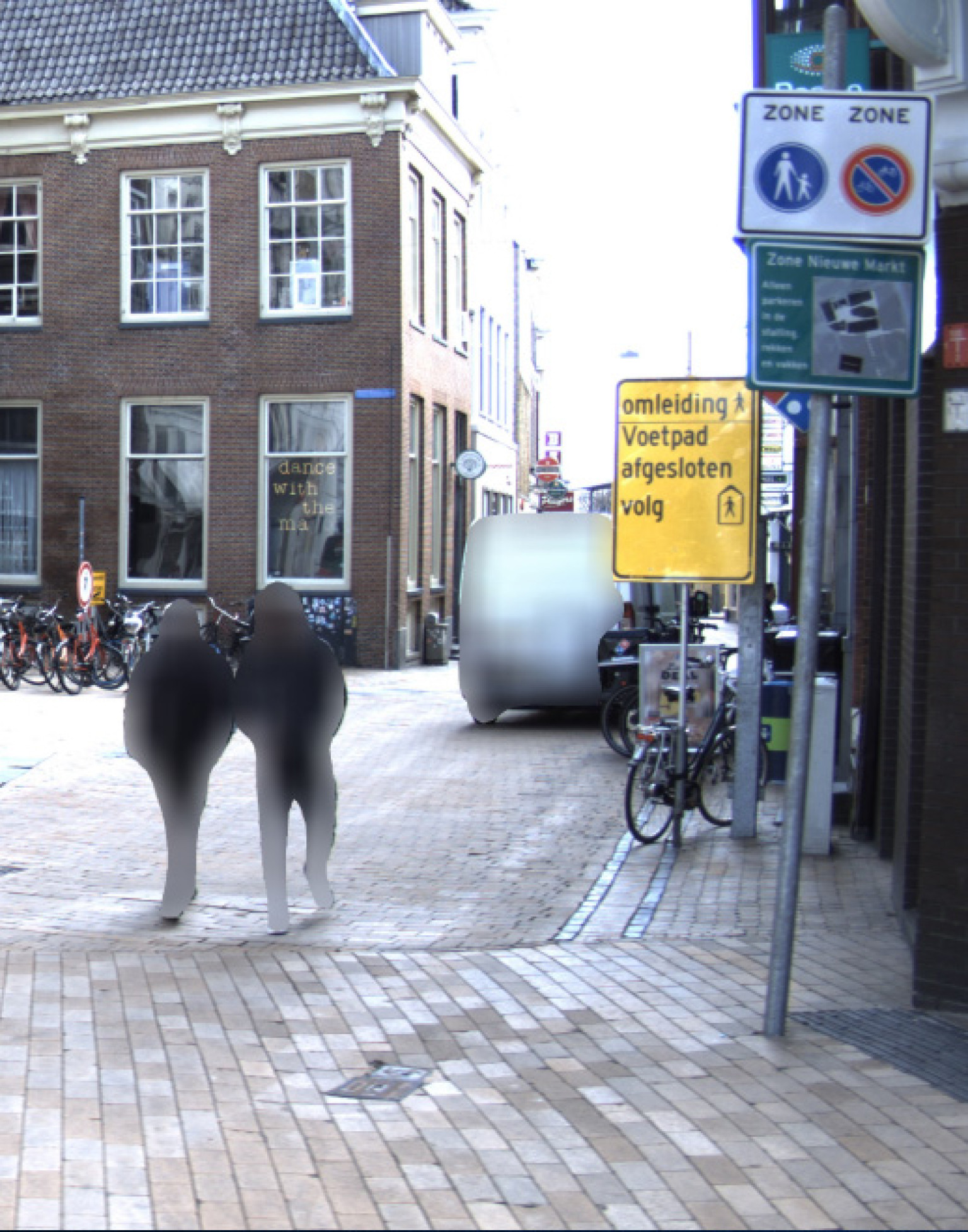
Trees have all kinds of excellent functions in the spatial environment. But trees can also pose an increased risk, for example during stormy weather, or when roots get too close to cables & pipes. Authorities therefore need an inventory of trees, including their location, height and crown projections. The images of public spaces produced by AI-InfraSolutions allow us to automatically complete this inventory.

Transparent tree and crown projections
Tree detection gives green public space planners and authorities an increased insight into tree characteristics. They use this information to optimise management and maintenance activities. A crown projection refers to the horizontal projection of the tree crown onto the soil. This projection effectively provides an insight into the area below the soil, where most of the tree's roots grow.
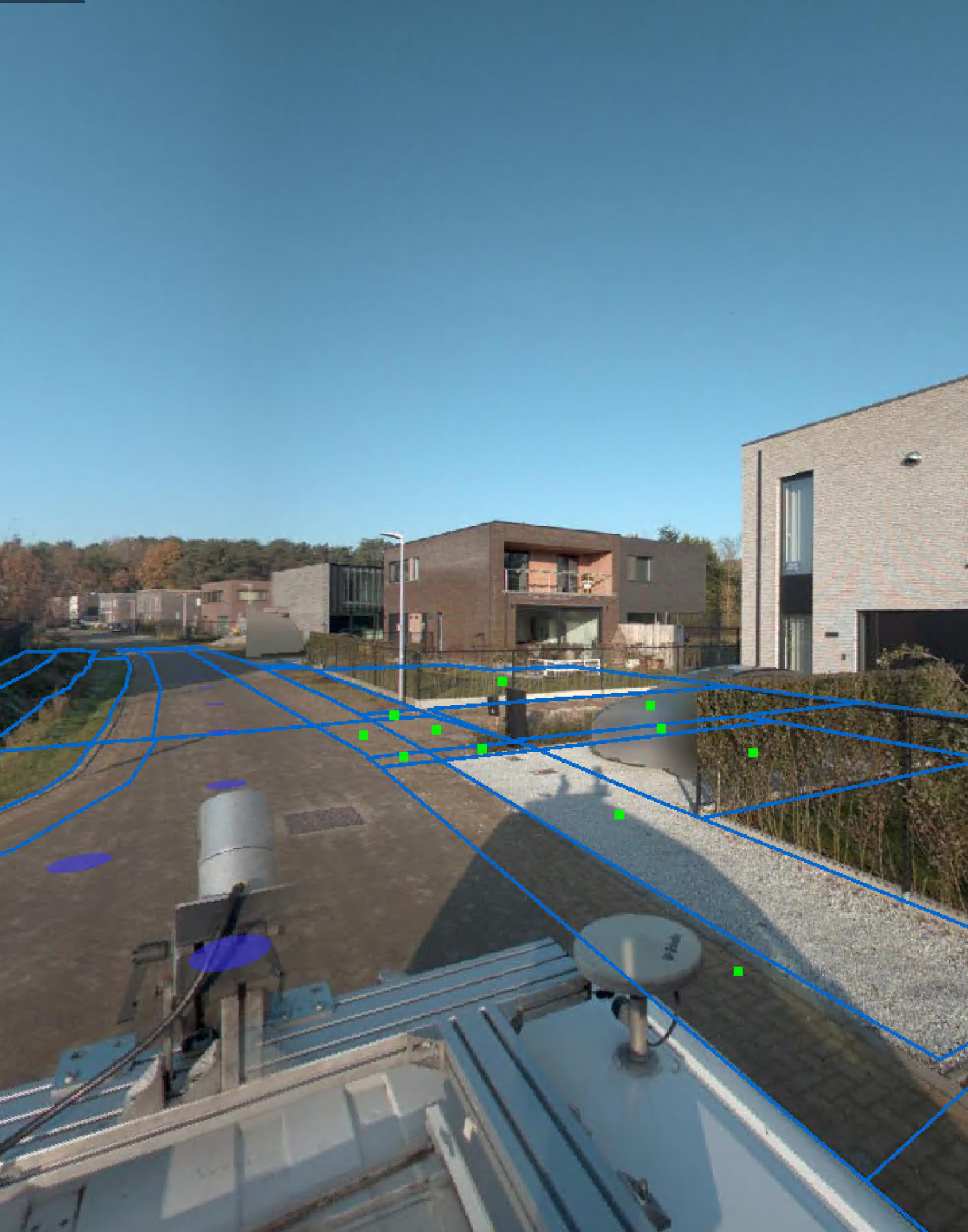
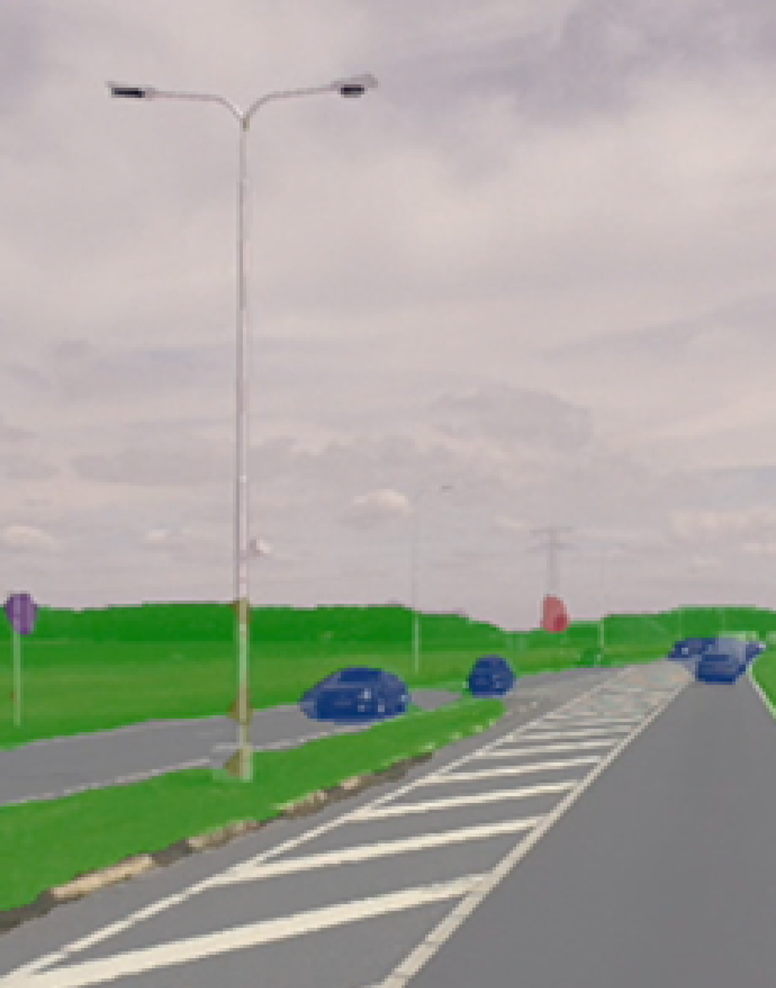
AI-InfraSolutions can make the area transparent with Mobile Mapping data acquisition. We record the tree information based on image and point cloud analyses.
Our range
We can determine, for example, the trees’ location, height, trunk and crown diameter by combining the data and our AI Solution.
We provide the detection and classification results in 2D (.shp) or via the 3D Geoviewer. But also as a data layer for your own GEO/GIS or management environment.
| CHARACTERISTICS | SPECIFICATIONS |
|---|---|
Do you have any questions about the characteristics and specifications?
Get in touch with one of our experts
Related Solutions:
-


Area made transparent through Mobile Mapping data acquisition
-


Inventory of trees for optimal management and maintenance activities
-


The use of image and point cloud analyses provides an effective insight into the trees’ characteristics
Curious about our automated tree detection approach?
Get in touch and discover what we could do for you!
