Sensors
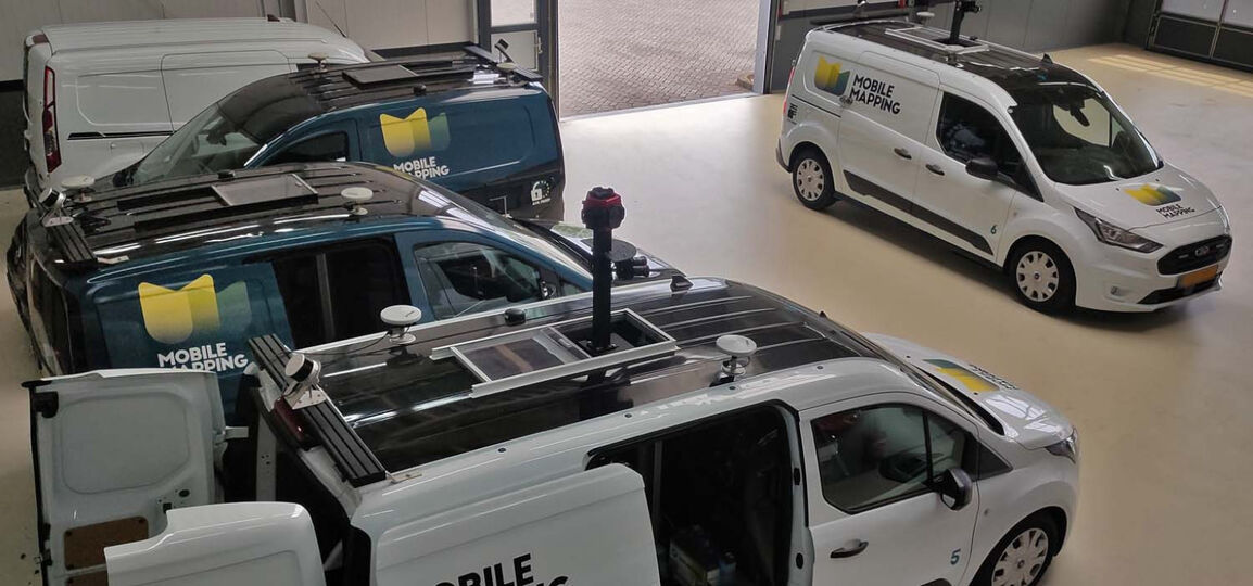
360 degree HR camera, LiDAR and GNSS
For optimal results Read more about the different types of sensors
Combination of Sensor Techniques when acquiring data
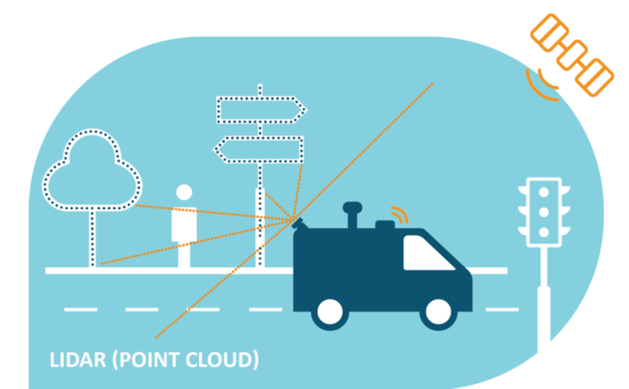
AI-InfraSolutions combines 360 panoramic image, LiDAR point clouds and GNSS (location) data. This allows us to accurately and consistently record the environment. It provides valuable data for authorities and stakeholders to make informed decisions about effectively managing the infrastructure.

We take our photographs at regular intervals, which means we can create an effectively structured image of the environment. The LiDAR scanners generate an incredibly detailed point cloud which we connect to the photographs. This allows us to form an accurate and complete picture of the environment, combining the visual information from the photographs and the three-dimensional data from the point cloud. The linked GNSS records the images’ geographic location.
Type of Sensors
-
HR camera
We use the Ladybug5+ and a 150 Mp camera. This is a 360-degree high resolution (HR) camera. -
LiDAR
We use the LiDAR Velodyne HDL 32 and a Pandar 32 XT. LiDAR is a technology which determines the distance to an object or surface with the use of laser pulses. LiDAR stands for Light Detection And Ranging or Laser Imaging Detection And Ranging. LiDAR works in accordance with the same principle as radar: a signal is transmitted and will be received again some time later through reflection. -
GNSS sensor
Our high quality Applanix LV 420 GNSS (Global Navigation Satellite System) location sensor, including GPS functionality, ensures we always know exactly where we are.
