Sensors
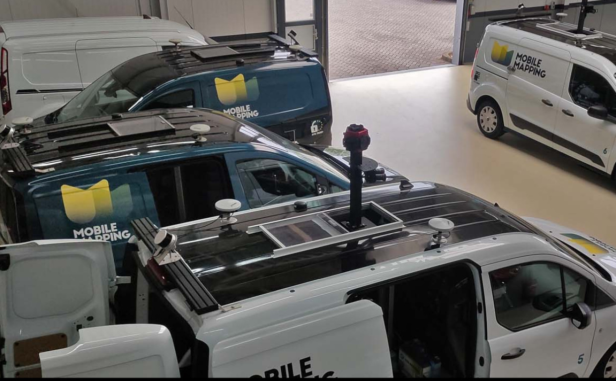
AI-InfraSolutions combines 360 panoramic image, LiDAR point clouds and GNSS (location) data. This allows us to accurately and consistently record the environment. It provides valuable data for authorities and stakeholders to make informed decisions about effectively managing the infrastructure.
Mobile Mapping
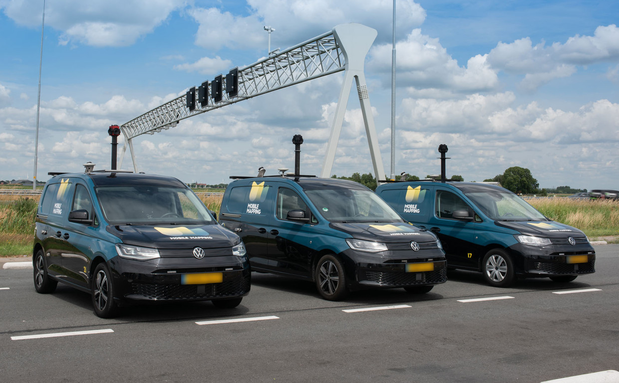
Mobile Mapping is a technique whereby a vehicle equipped with cameras and scanners collects geographical information. AI-InfraSolutions has its own fully equipped Mobile Mapping vehicles with a 360-degree camera, several high resolution cameras and one or two LiDAR scanners for generating point clouds at its disposal.
AI Technology
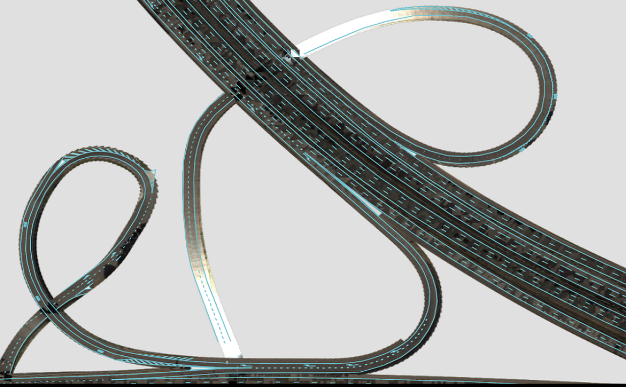
AI-InfraSolutions uses AI-Technology to extract valuable information from acquired data. We always do this in combination with human expertise. AI Technology has resulted in the possibility of us realising automated and continuous monitoring of public spaces and subsequently interpreting the data and generating insights using advanced algorithms and techniques.
Digital Twin
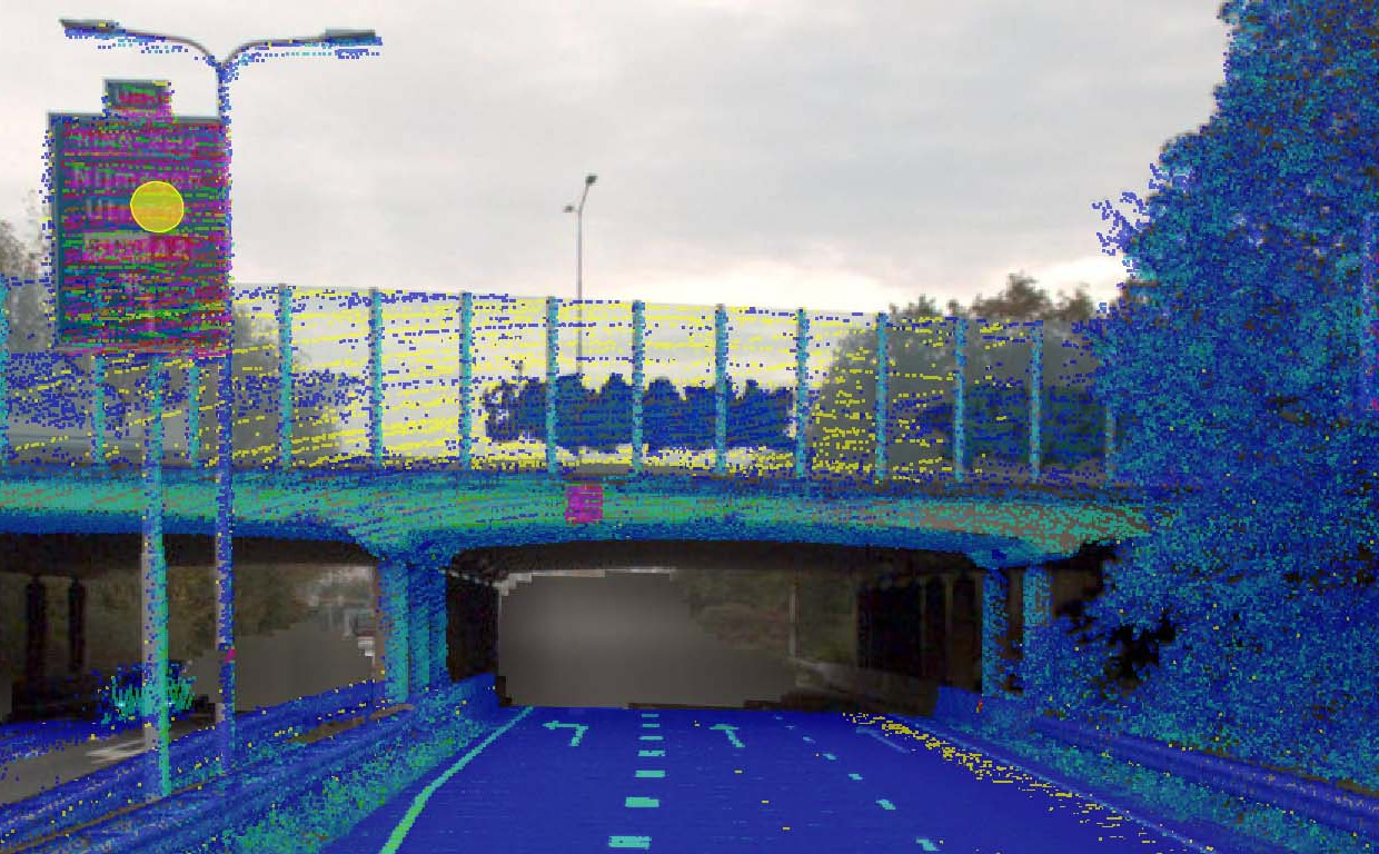
AI-InfraSolutions produces a Digital Twin of the environment and regularly and automatically keeps the data up-to-date. We record public space data. This creates a digital representation of reality, a digital world. The Digital Twin is constantly updated based on real-time data, as and when required. This allows us to monitor and analyse changes.
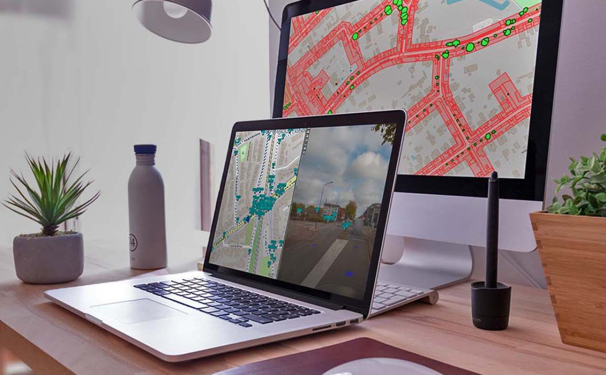
2D & 3D
AI-InfraSolutions links into existing Asset Management packages. Our data and information are available as a data layer in an existing management environment (Orbit/Bentley/IPSM/Hexagon/ArcGIS). We also supply the data as a .shp file. These files are easy to use in GEO and GIS applications. A data set around an asset is also available as a database.
