Digital Twin
A Digital Twin of the environment
Digital Twin, for smarter and more efficient management Data analysis and integration
Digitization of public spaces
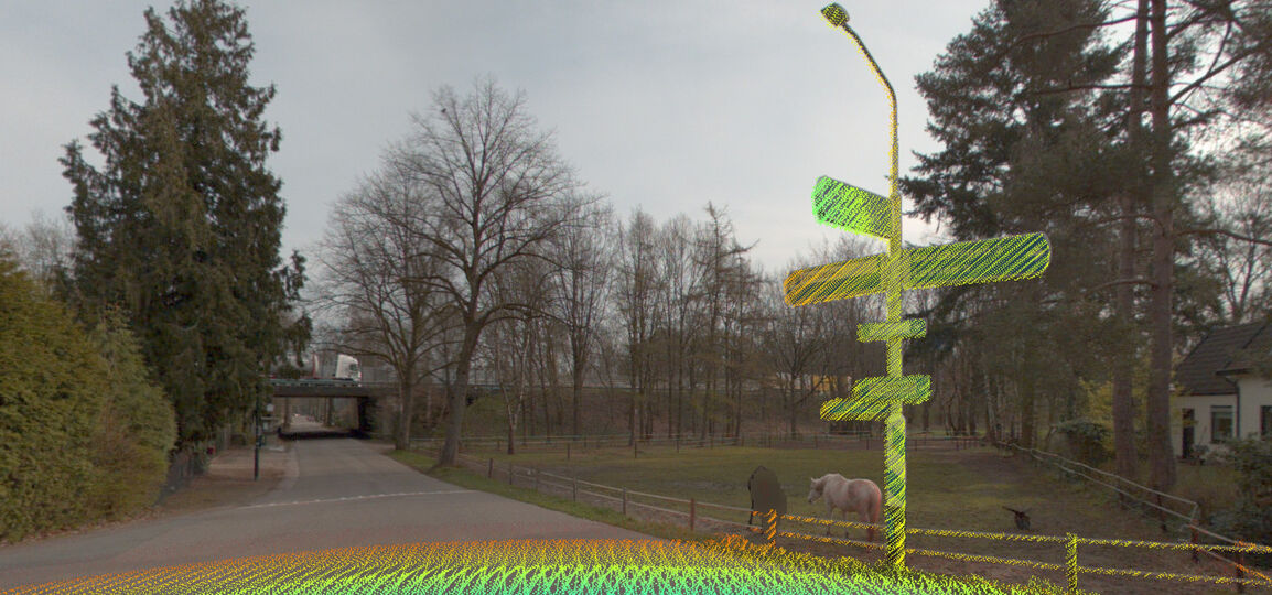
AI-InfraSolutions produces a Digital Twin of the environment and regularly and automatically keeps the data up-to-date. We record public space data. This creates a digital representation of reality, a digital world. The Digital Twin is constantly updated based on real-time data, as and when required. This allows us to monitor and analyse changes.

Digital Twin, for smarter and more efficient management
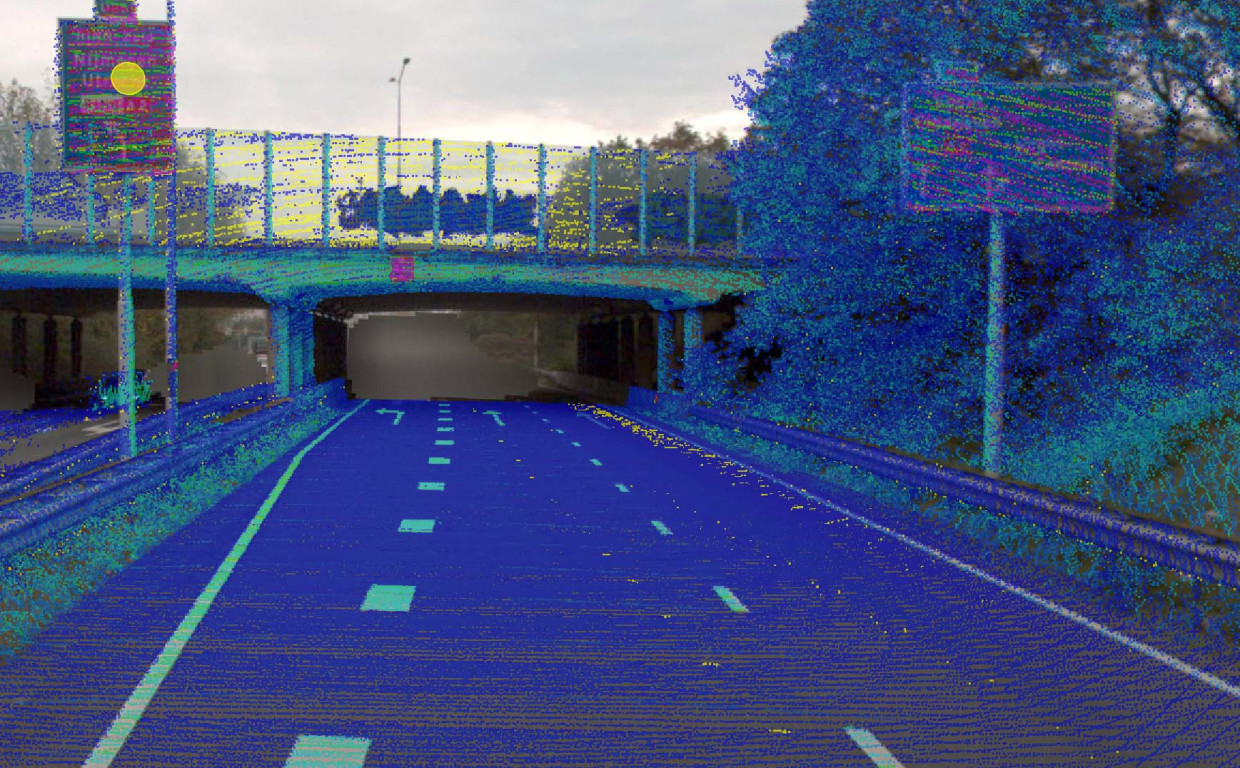
AI-InfraSolutions uses its in-house developed software to automatically extract information from imagery and point clouds. We quickly and cost-effectively acquire valuable information about assets. Including information regarding locations, dimensions, context and, in some cases, the condition of, for example, traffic signs and light poles. AI-InfraSolutions’ approach is region-wide, project-based and/or object-focussed.
Digital Twin & Data
-
Data-analysis
Advanced analysis techniques like machine learning and AI algorithms are used to acquire an insight from data. These techniques can also generate optimisation suggestions based on the collected data. -
Data-integration
Integrating the collected data into the digital representation is essential. Using data processing algorithms will produce a detailed digital representation of objects.
