Discover our Spatiall Studio
Our studio offers a user-friendly platform for viewing data, asset details, and integrating outputs with relevant systems.
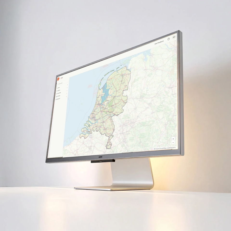
Our practical viewer
Spatiall Studio is our user-friendly digital workspace for viewing and interacting with a geospatial reality data and our AI insights. It combines high-resolution panoramic imagery, dense point clouds, and structured datasets into a single, user-friendly platform.
In co-creation with our users, we build increasingly smart workflows that help professionals to focus their time on key situations. Built to support real-world value,
Spatiall Studio is ideal for smart inspections, audits, planning, and data validation.
Key Features
- Online viewer for panoramic imagery, point clouds, and asset intelligence
- Integrated visualization of asset information extracted by Spatiall AI: asset location, inventory, and inspection status
- Click-to-measure tools for coordinates, distances, heights, and surface areas
- API-based extensions for integration with asset management systems, GIS platforms, or custom workflows
- API-based extensions for integration with asset management systems, GIS platforms, or custom workflows
- Multi-user access with Single Sign-On (SSO), including role-based permissions
- Runs in all major web browsers – no installation required
What this means…
One single place…
…for various users to perform all necessary workflows (from extraction, labeling, review, quality control, etc.).
Workflows and automation mean…
…faster time from data collection to information sales to customers.
Lower operational costs…
…because we have automated and digitized manual processes, reducing personnel costs.
No more headaches…
…easily integrate with third-party systems/third-party datasets and provide your customers with one cohesive overview.