Traffic signs

Light poles

Utility poles

Road markings

Trees

Surface types

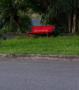
Street furniture
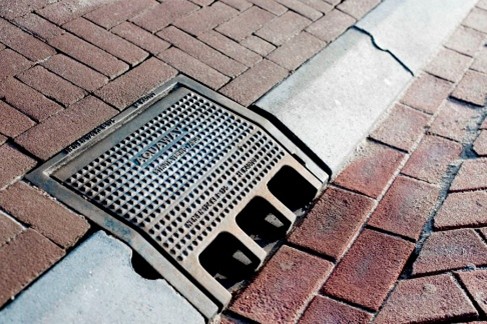
Drains and manholes