Spatiall is our end-to-end solution for geospatial intelligence. It seamlessly combines mobile
mapping at scale, sovereign local data infrastructure, AI-driven asset analysis, and intuitive
visualization.
Spatiall collects and transforms raw spatial data into actionable insights, empowering professionals
worldwide to improve infrastructure assets in a safe and sustainable way. Our Mission is to make
geospatial intelligence accessible to all.
Enabling large-scale data capturing with a removable and modular sensor
platform with smart software for optimal logistics. Our roof-mounted
mobile mapping platform captures panoramic imagery, point cloud data,
and precise geolocation.
Complete software suite to manage your mobile mapping operations at
scale. To manage logistics, automatically refine, do quality control and
deliver structured data within 24 hours. Ready for analytics, other data
sets and our AI models.
AI models automatically detect, classify, and inspect visible assets and
their attributes from geospatial data. Enabling change detection and
smart recommendations.
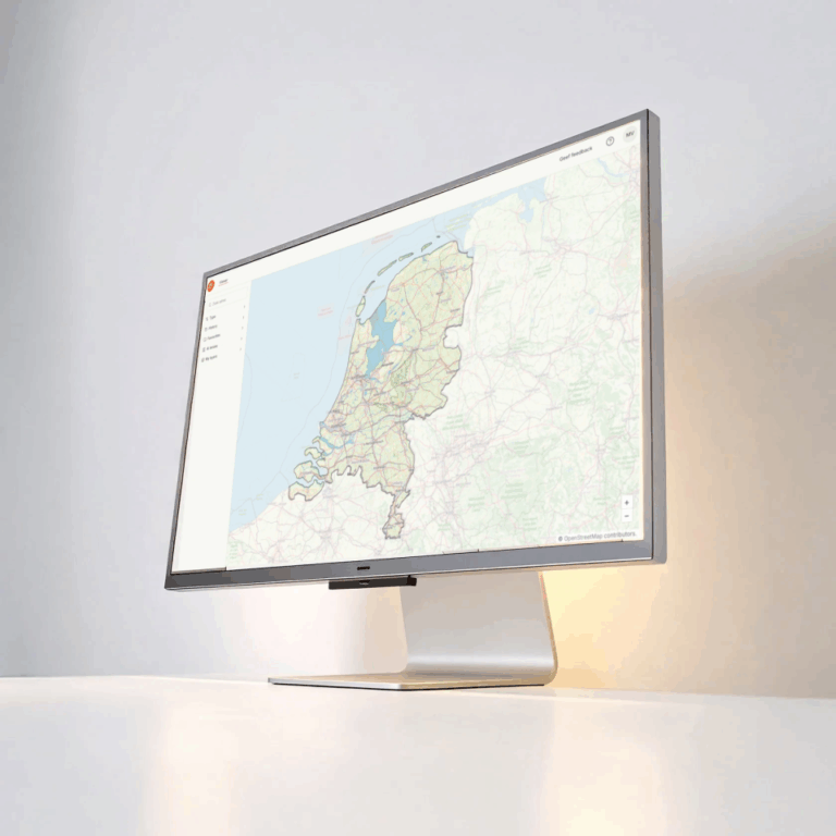
User-friendly digital platform to view and interact with reality data and
asset information. Optimizing workflows, enabling smart decision making
and integrating with industry standards.
Explore new revenue streams by translating geospatial data into valuable insights.
Interested in becoming a mobile mapping partner? Fill out this form.
Become the Search Engine of the Geospatial World.
Provide intelligent geospatial insights that scale your mobile mapping business and improve the safety and efficiency of infrastructure management activities in your area.
Scroll to Top
Sign-Up for our Newsletter
Receive all the latest news from the world of AI-InfraSolutions.