Serving the geospatial world with usable data
Data has always been a crucial element of decision making. The best results are those that are informed by relevant information. In recent years, the amount of information available has leapt, and stakeholders need a way to easily manage, and in particular, view this information in a way that makes sense to them. This is where viewers come in, and there are many in the geospatial world. AI-InfraSolutions’ Spatial Studio is one of these, but it allows users to import their own datasets in combination with the data already present – data that is annually collected by the company throughout the Netherlands.
A one-stop-shop for geospatial truth
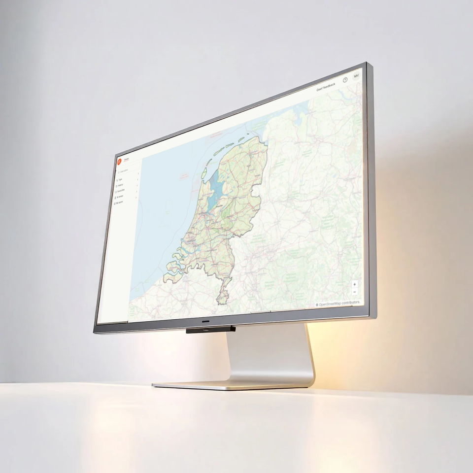
Spatiall Studio is a user-friendly digital workspace for viewing and interacting with geospatial data. It also allows users to add layers of information from Spatiall AI – which extracts valuable information from the collected images, for example traffic signs. It combines high-resolution panoramic imagery, dense point clouds, and structured datasets into a single, user-friendly platform.
This means that users can see panoramic images, point clouds and asset intelligence (like asset location, inventory, and inspection status) – all in one place. Following a recent collaboration with Kavel 10 in the Netherlands, aerial imagery can also be accessed through the Studio and placed alongside the base map and panoramic images to provide even more context.
Users can also upload compatible datasets of their own.
A wide range of users
Users range from those needing to check out a certain asset, for example a traffic sign, or a house, to those who use the system to preview a site of interest, seeing the lay of the land before they commit to further investigation work. This saves them all time and money – they don’t need to leave the office to do the view and can revisit the data at any time to refine their work.
For example, users have used the Studio to look for good places to place charging stations for cars so that it works with the surroundings. Another use case would be determine the best places to put cables in the ground to minimize digging is required.
Users in the development loop
As with any software product, the Studio keeps evolving. More data is added, including more AI asset layers. All aspects of the platform are constantly reviewed to check usability, quality, speed, data range, and compatibility.
The benefits of using data from the same company, as part of an end-to-end collection to insight process become evident here. Teams work closely together to make sure the data works seamlessly in the Studio.

Collect once – use again
One key part of the Spatiall solution is that it enables a new type of model – collect once-use multiple times. This gives it scalability and means it can also have some impact on efficiency. Cost is reduced because professionals do not have to make suite visits so often, saving them time and travel kilometers. All in all, efficiency saves waste: time, of money, of effort, and even potentially CO2.
There’s also the fact that AI-InfraSolutions maintains a healthy feedback loop with customers. User comments are taken seriously and fed back into the development cycle of the platform. For example, there was a highlighted need for a single sign on features in the market, and within three months the Studio was updated with that function intact and working.
Combined data today for the questions of tomorrow
In a world where data is a commodity, tools that help us to make use of it are crucial. The flexibility and home-grown nature of Spatiall Studio mean that data can be used simply to gain insights and make the best-informed decisions. The Studio is designed to be future proof, so that it can provide answers for the questions geospatial professionals have today, and the questions we don’t know about tomorrow…