New European regulations on the availability of traffic data for RTTI 2025

Here's what you need to know.

Mobility Data Visualized:

AI-InfraSolutions helps you implement RTTI legislation to enhance traffic safety.

From January 2025 holders of traffic data sources are required to provide their high-quality data in real-time. Service providers must also process the data, provided it is good quality and usable.

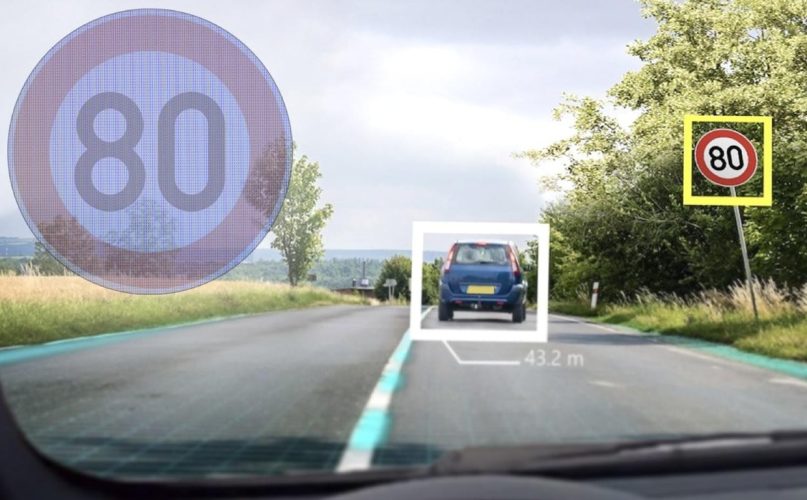
RTTI legislation requires municipalities to provide mobility data, creating opportunities for improved traffic safety through advanced driver assistance systems (ADAS).

AI-InfraSolutions supports you in collecting, analyzing, and sharing this data.
Desktop.77795d23.verkeersborden_rtti_beeld

Got a question about RTTI?

What can our Traffic Signs solution do for you?

At AI-InfraSolutions, we offer solutions to keep your mobility data efficient, accurate, and up-to-date:

Meet Ellen, our RTTI expert.

“Ellen Hoogeveen, a specialist with 25 years of experience in the mobility sector, is an expert in RTTI legislation and innovative solutions.”

What is Real Time Traffic Information (RTTI)

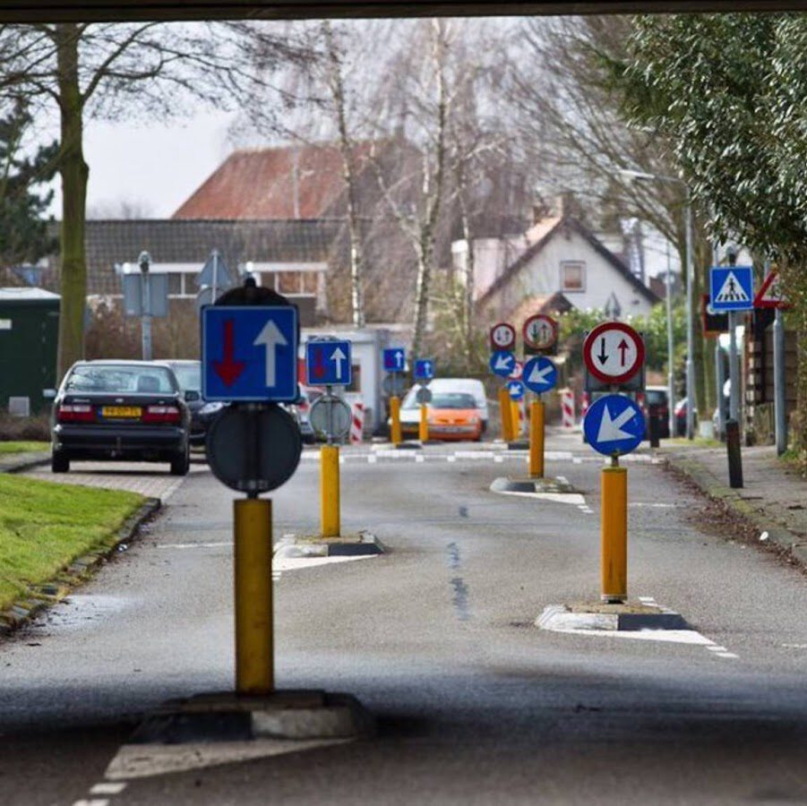
Real-Time Traffic Information (RTTI) pertains to up-to-date data on traffic and mobility. Data from traffic signs is a key component of this. For example, information from speed limit signs is crucial for the functionality of Intelligent Speed Assistance (ISA), which will be equipped in all new cars starting summer 2024. ISA helps drivers maintain the maximum speed limit, improving road safety and reducing the likelihood of fines.

Keeping Your RTTI Data Up-toDate

Keeping data up to date and identifying changes is a challenge for many road authorities. These processes can be time-consuming and often disrupt daily operations. AI-InfraSolutions offers solutions to make these tasks more efficient and accurate.

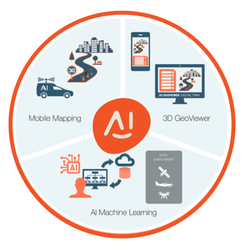
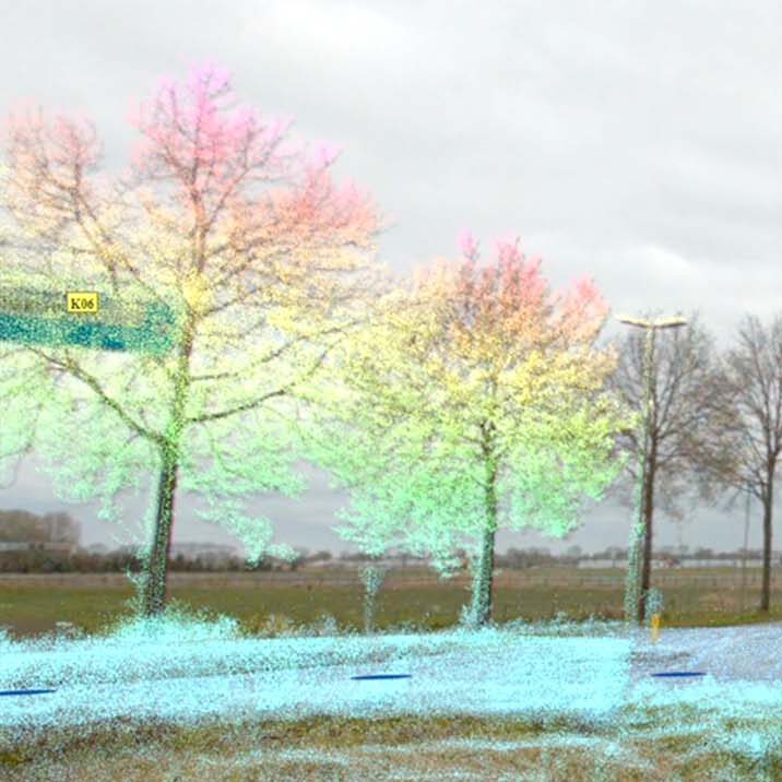
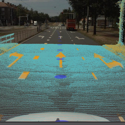
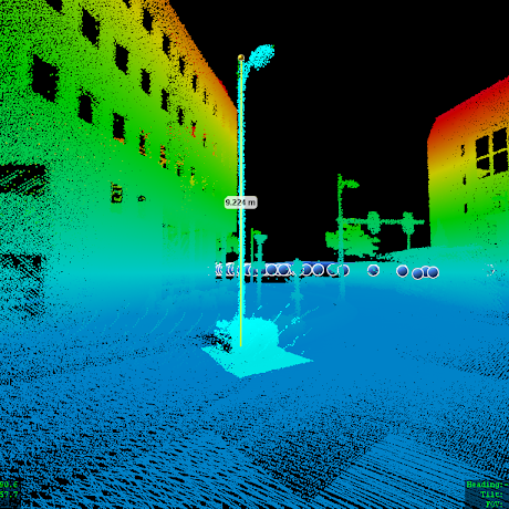
Using our mobile mapping technologies, equipped with 360° cameras and LiDAR, we create detailed maps of traffic signs and infrastructure. Our AI algorithms analyze the data and use ‘Change Detection’ to quickly and accurately identify changes in the road network. This enables you to respond to modifications without interrupting your daily operations, saving both time and resources.

RTTIe

Get Access to High-Quality Municipality Data Instantly.

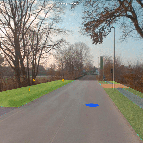
At AI-InfraSolutions, we ensure your data is ready for immediate use. Combined with our Spatiall AI Lenses and Spatiall Studio, we provide everything you need to view, analyze, and efficiently utilize accurate data.

Access Even More Insights

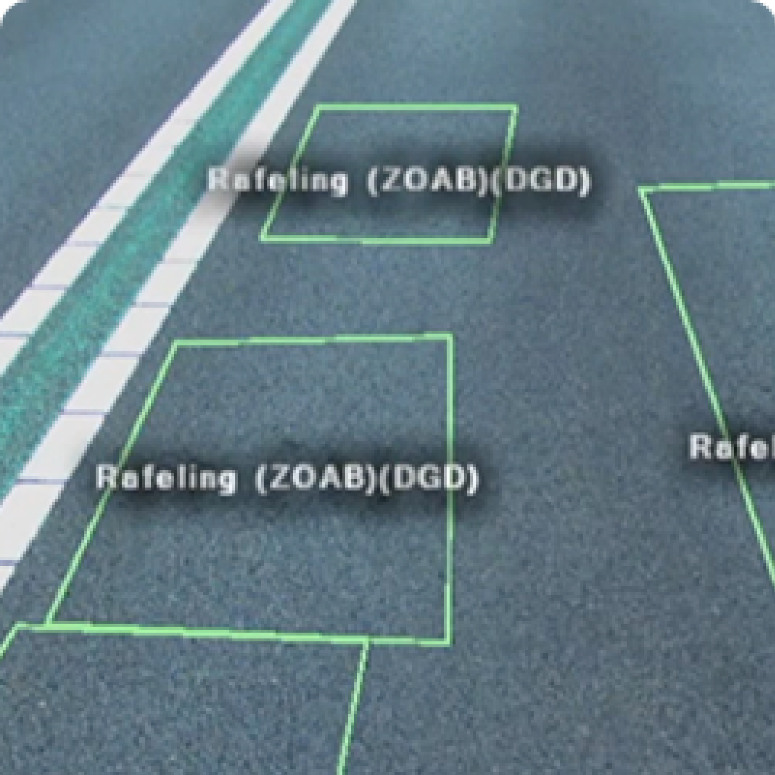
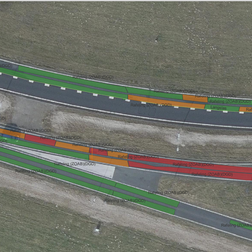
At AI-InfraSolutions, we provide you with relevant insights to help you manage your infrastructure more efficiently and effectively. Discover how our solutions enable proactive management and maintenance, contributing to a safer and more sustainable environment.

Traffic signs

Sureface layers

Trees

Road damage

Road markings

Light poles

Road management

Scroll to Top
Sign-Up for our Newsletter

Receive all the latest news from the world of AI-InfraSolutions.