Enriching mobile mapping data from the air
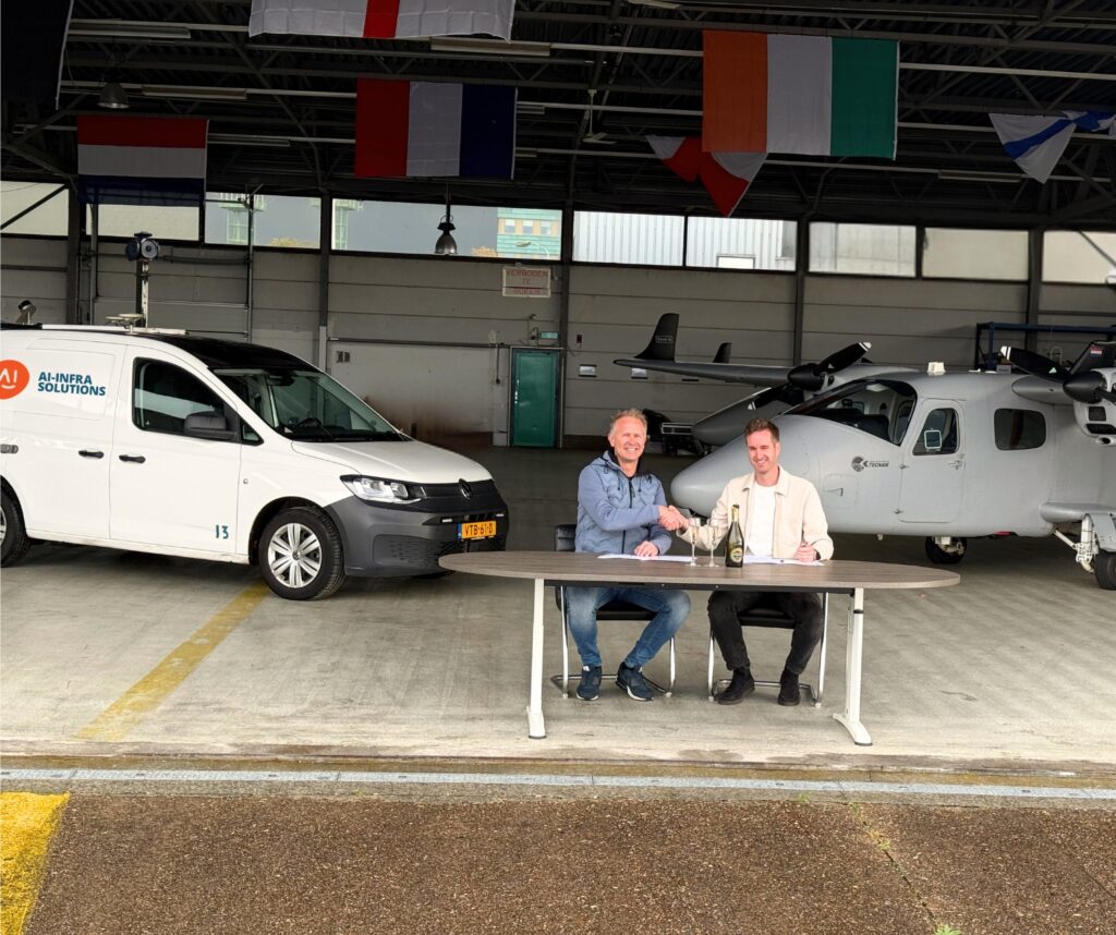
Comprehensive Information about the world around us is crucial to decision makers – in fact making the wrong decision, or not having enough information to decide, can be costly and potentially damaging. So, the better the information, the easier the decision. AI-InfraSolutions is constantly driving forward the quality and relevance of location – or geospatial – data. To that end, the company has partnered with Kavel 10, a pioneer in high-quality aerial imagery in the Netherlands, to add aerial data to its existing comprehensive ground dataset.
AI-InfraSolutions‘ data are already primed for AI enrichment, and adding aerial data will enhance this. By combining data from both the air and the ground, clients gain a uniquely comprehensive and future-proof view of their assets
Wider line of sight with aerial data
Data collection using planes can give much more insight. Planes are equipped with cameras that give different viewing angles. The traditional angle – 90°, or nadir, shows the view from directly above. However, cameras providing oblique viewpoints (around 45°) can provide much more – users can see contextual detail from a distance.
In the case of a large building, for example, oblique images would show the building’s side, where nadir images could not. Since mobile mapping on the road works at ground level, it could not capture this detail either.
Greater access
Another key benefit of aerial collection is that it can see more than ground-based collection methods – simply, a vehicle relies on roads! If a mapping van cannot get to a space, it cannot map it in detail. For instance, it would not be able to collect data about the side of a building if it
did not have line of sight. From the air, a plane collecting aerial data can see more, especially using a combination of nadir and oblique angles. Effectively line of sight from the air is much wider.
More sources = better decisions
Of course, the real benefit comes when systems combine aerial data with mobile mapping data on the ground. This adds another layer of information, providing more context, and potentially filling in any detail gaps.
The use of multiple data sources also means cross-validation is stronger. If a source finds something another source does not see, it can be cross-checked to see which is correct. This improves the quality, and therefore value, of the data.
An important part of geospatial data provision is effectively displaying it in ways that users find easy to visualise their queries. The more realistic the picture is, the better and aerial imagery provides richer visuals.
Enhancing the power of data
As more sources of data are added to a dataset, it becomes more accurate, more visual, and more relevant. Effectively, this makes it much more valuable for end users to make informed decisions, using current information that also provides context.