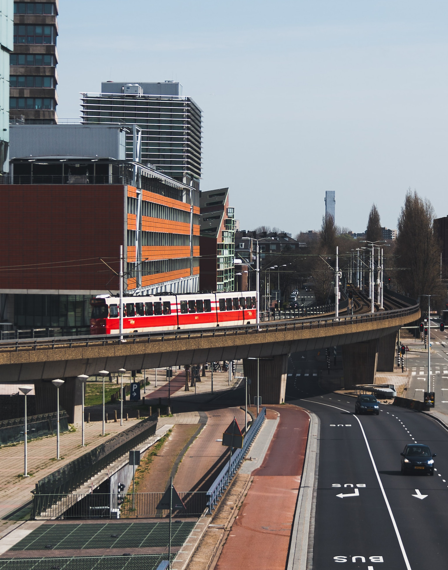
With our Fiber-to-the-Home solution, partners can achieve data-driven optimization of the most efficient excavation routes.
- Prevent high failure costs with our digital insights into surface layers, light poles, and trees
- Minimize visits: up to 75% fewer hours needed to understand the local situation
Avoid obstacles and reduce costs
When installing fiber optic cables determining the best installation route and navigating through different types of cover layers can be extremely time-consuming. A small deviation or unforeseen obstacle can immediately impact the planning, costs, and execution of a project.
- What is the ideal route for cables and pipelines?
- Where are obstacles such as poles and trees located?
- Which soil types will be encountered during excavation work?
- Where are roots or other obstacles likely to be in the way?
- How can we prevent the situation on the ground from deviating from the plans?
The current approach often results in a low percentage of ‘first-time-right’ data, costly physical visits, and high failure costs due to inaccurate planning. Additionally, poor data quality leads to delays and legal issues, causing unnecessary project slowdowns.
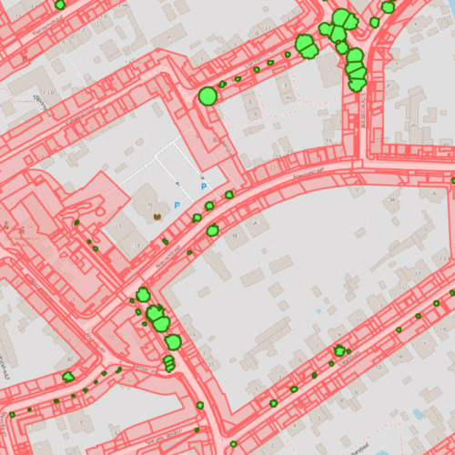
The Solution: Up-to-date data and automated AI-insights
FTTH planning can be dramatically optimized with the help of large-scale mobile mapping and our innovative AI technologies, providing accurate insights and efficient, error-free designs. Our approach enables companies to assess the situation accurately without being physically present.
AI Provides Insights into Local Ground Layers
Using advanced sensors we map the relevant locations and collect high-quality data, after which our AI systems can automatically identify ground layers. This method saves time, reduces errors, and boosts efficiency.
Discover more useful solutions for...

Road management
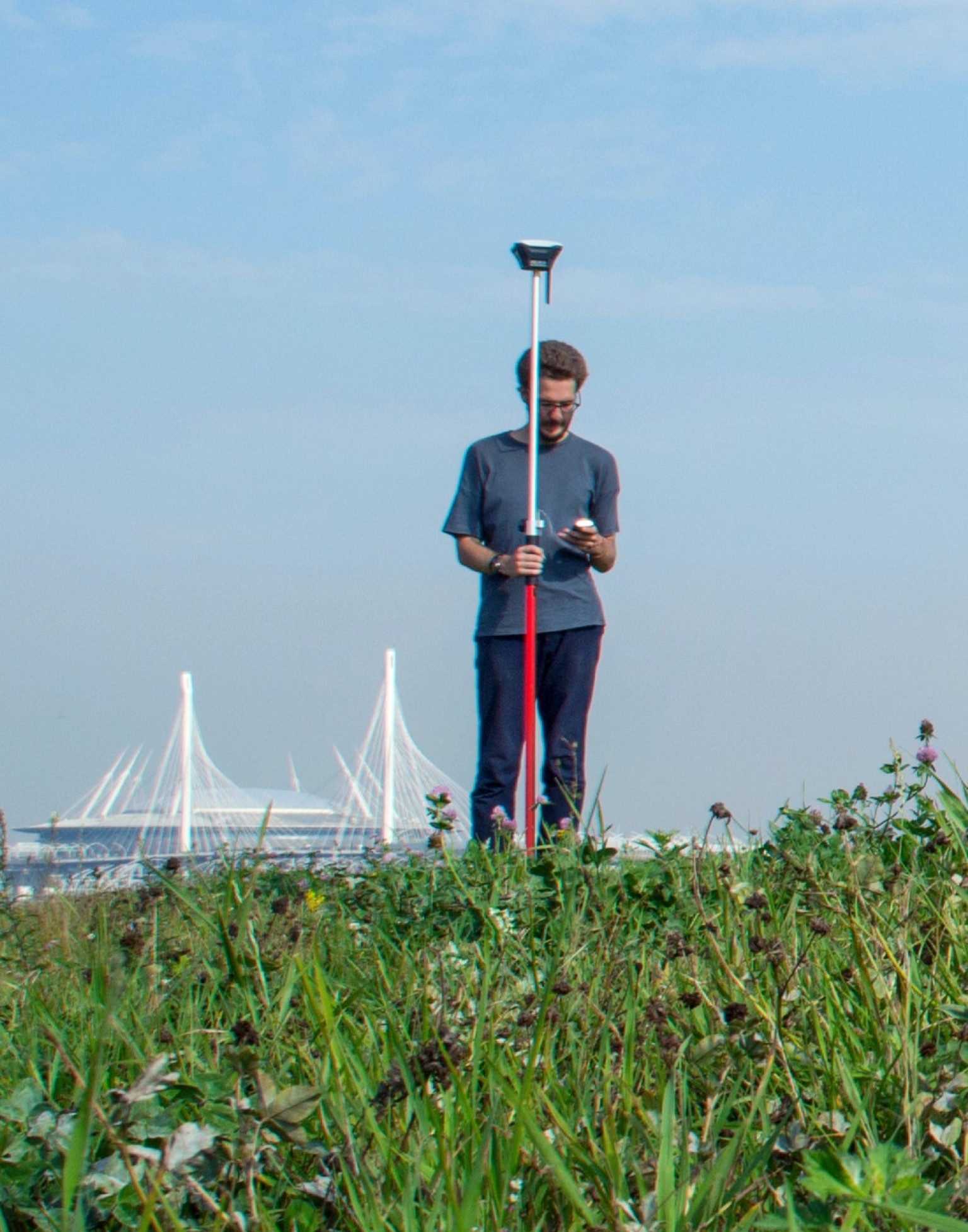
Public Spaces
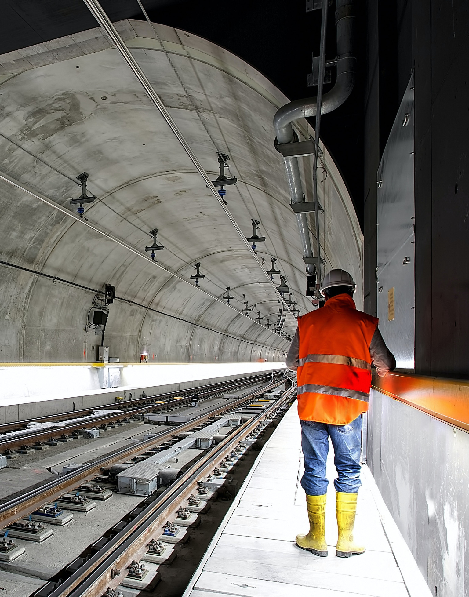
Railway
