Nationwide Data Mapping Redefines Infrastructure Planning for the Netherlands

Nationwide Data Mapping Redefines Infrastructure Planning for the Netherlands

Dutch technology company AI-InfraSolutions recently completed their annual nationwide data capture of the Netherlands. Unlike other data providers, AI-InfraSolutions takes a unique approach to mapping that enables their data to be used in a more sustainable, efficient, and cost-effective way, that makes customer deliverables a priority. 

Using mobile mapping technology with high-resolution 360-degree panoramic images and detailed 3D point clouds, AI-InfraSolutions data enables infrastructure planning, construction, and maintenance professionals to adopt a more proactive approach to infrastructure asset management. 

Secure Infrastructure Data that Puts Customers First
AI-InfraSolutions infrastructure geospatial data

AI-InfraSolutions updates its nationwide data annually and stores it securely in a private cloud located within the Netherlands. This ensures top-level data security and compliance with national data protection standards. The information is easily accessible through Spatiall Studio, AI-InfraSolutions’ web-based platform, which provides customers with unlimited access. Unlike pay-per-click services, Spatiall Studio offers clients unrestricted use of the data, allowing them to maximize the value of their investment.

Sustainable Infrastructure and Asset Management in the Netherlands

The team at AI-InfraSolutions envisions a future where governments and large organizations worldwide take a more sustainable, safe, and proactive approach to managing infrastructure assets. Their unique and flexible solution supports proactive planning and resource management. Their actionable insights help both public and private sector clients optimize their infrastructure for long-term resilience. By empowering operators to shift from a reactive to a proactive approach, AI-InfraSolutions helps save significant time, and money whilst also reducing disruption to the public.

A Unique Approach to Nationwide Data Capture

The vehicle setup used enables the mobile mapping team to change equipment and settings depending on the terrain they are capturing. One of the most recent additions to this flexible solution is the introduction of The Spider 360 panoramic camera. This solution uses cutting-edge 180-megapixel camera, with a 360-degree view, that can travel at speeds up to 100 km/h, allowing for rapid, high-resolution mapping. The Spider enables faster data capture at higher resolutions than ever before, enabling a more progressive approach to infrastructure maintenance.

Flexible Infrastructure Data Solutions that Adapt to Workflows

Many mobile mapping solutions provide a packaged product. The result is that government officials are forced to adapt their requirements to fit the solution provided.

AI-InfraSolutions operate the other way around, with flexible data solutions that put customer workflows first.

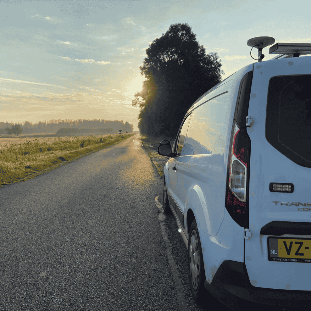
Working with government authorities, the AI-InfraSolutions team establishes what images are needed, what information needs to be extracted from the images, and how best to integrate the data within the existing workflows for easy use.

For instance, some municipalities combine both rural and urban areas, with 100 km of countryside and 300 km of urban city space. With AI-InfraSolutions’ end-to-end solution, it’s possible to capture the rural landscape with one camera setup and then seamlessly switch to a more environmentally friendly camera configuration suited for the urban environment. This means we can also minimize the amount of data required which is in the end much more sustainable. 

“Our adaptable camera configuration offers flexible options for end users. We don’t have a one-size-fits-all package; instead, we tailor solutions to meet specific needs.” Jasper Geven, Commercieel Directeur (CCO), AI-InfraSolutions

The result is a simplified workflow for government officials. Instead of operators manually sifting through large datasets to identify areas that need repair, AI-InfraSolutions uses AI models to automatically detect and classify damage zones which are then flagged to operators. This allows experts to focus only on assets that need attention, saving time, reducing costs, and improving efficiency.

The Search Engine for the Geospatial World

AI-InfraSolutions’ vision is to help infrastructure professionals and mobile mapping companies create a safer, more sustainable world. 

They do this by providing intelligent geospatial insights that improve the safety and efficiency of infrastructure management activities worldwide. This is achieved by providing enhanced reality data (through AI) that can be translated into useful insights, for the operation and maintenance of infrastructure assets.

Building on their successful end-to-end mobile mapping service in the Netherlands, they are now partnering with mobile mapping companies globally to deliver our sustainable and scalable methodology for nationwide mapping to governments and large-scale organizations worldwide.

Would you like more information
Scroll to Top
Sign-Up for our Newsletter

Receive all the latest news from the world of AI-InfraSolutions.